Porzehütte
Map
Gallery
Facts and practical information
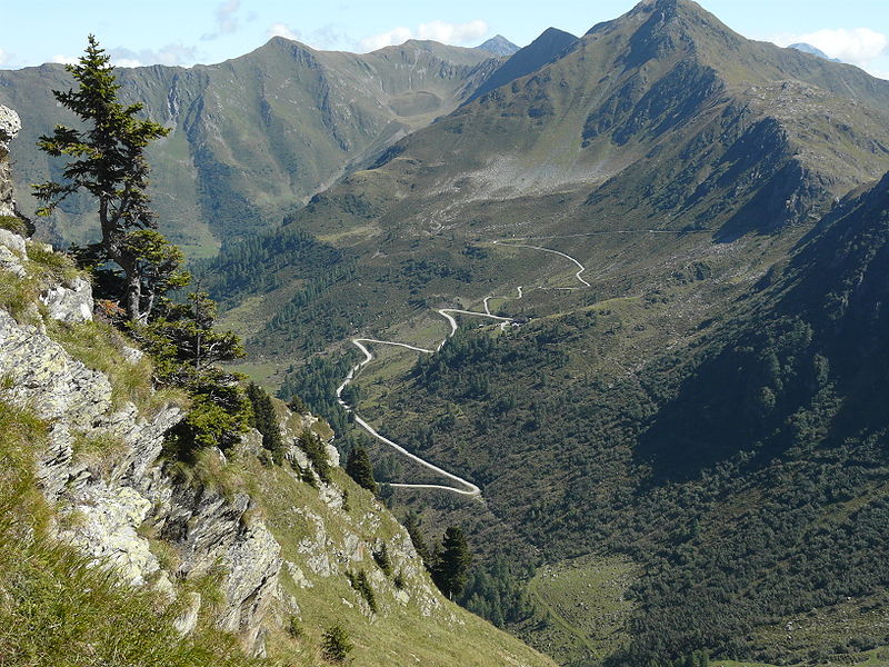
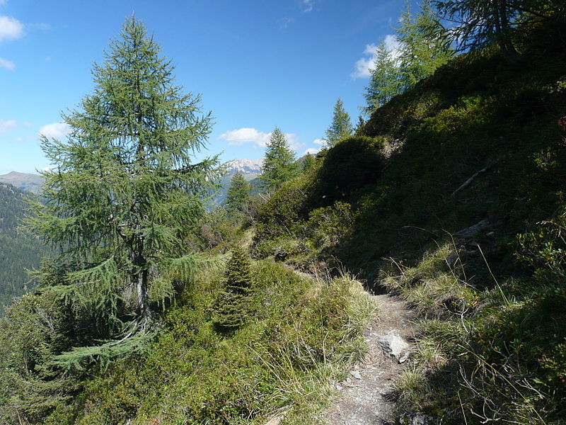
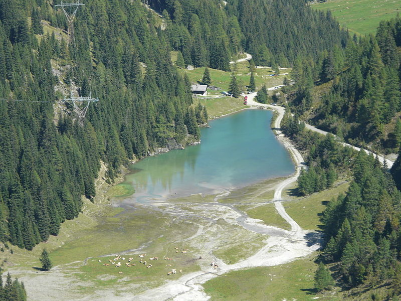
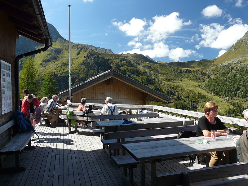
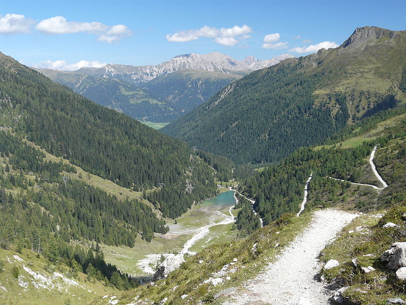
The Porzehütte is a category I refuge of the Austria Section of the ÖAV in the Tyrolean part of the Carnic Alps. It forms an important stage support point on the Southern Alpine Trail as well as the Carnic High Trail.
Coordinates: 46°39'35"N, 12°34'56"E
Location
Tyrol
ContactAdd
Social media
Add
Day trips
Porzehütte – popular in the area (distance from the attraction)
Nearby attractions include: Obstansersee-Hütte, Filmoor, Kartitsch, Obertilliach.


