Schartschrofen

Gallery (1)
Map
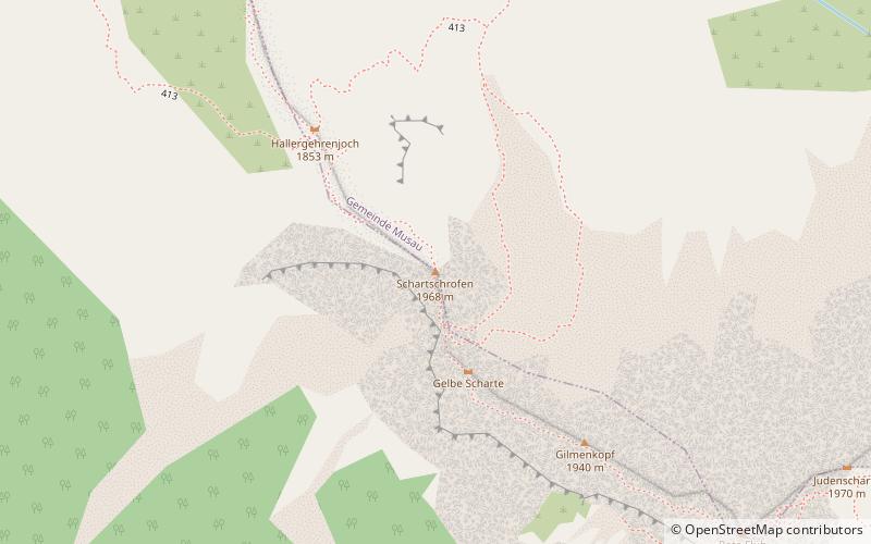
Map
Facts and practical information
The Schartschrofen is a rocky summit, 1,968 m high, in the Tannheim Mountains, a sub-group of the Allgäu Alps. It lies northwest of the Rote Flüh and south of the col of Füssener Jöchl. ()
Location
Tyrol
ContactAdd
Social media
Add
Day trips
Schartschrofen – popular in the area (distance from the attraction)
Nearby attractions include: Rote Flüh, Haldensee, Gimpel Mountain, Willi-Merkl-Gedächtnis-Hütte.


