Brandnertal
#671 among destinations in Austria
![Brandnertal location map](https://tzmedia.b-cdn.net/media/images/static-maps/at/47_1217_9_76667.jpg)
Facts and practical information
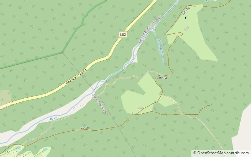
The Brandnertal is a valley in the Austrian province of Vorarlberg as well as a ski resort named after the valley. ()
VorarlbergAustria
Brandnertal plan & book
Unleash the traveler in you — discover the cheapest flight deals, find the perfect hotel or hostel nearby, and search for the best car rental prices. Travel at your own pace to discover new places and enjoy your journey.
Brandnertal – popular in the area (distance from the attraction)
Nearby attractions include: Bürser Platte, Lünersee, Klimmerei, Panüelerkopf.
2.6 miNE 4.8 miSNature, Natural attraction, LakeLünersee
122 min walk • Nestled in the heart of the Austrian Alps lies the breathtaking Lünersee, a pristine alpine lake that is as tranquil as it is beautiful. Situated at an elevation of roughly 1,970 meters above sea level, this jewel of Vorarlberg is a popular destination for hikers...
3.1 miNE 5.6 miSWNature, Natural attraction, MountainPanüelerkopf
143 min walk • The Panüeler Kopf is a mountain in the Austrian state Vorarlberg. The Panüeler Kopf is part of the Schesaplana group and with an elevation of 2,859 m the second highest mountain in the Rätikon mountain range.
2.3 miSENature, Natural attraction, MountainZimba Mountain
60 min walk • The Zimba, elevation 2,645 m, is the most familiar mountain in the Austrian mountain range called Rätikon. Located in the hinterland of Bludenz, this horn is the landmark of Montafon valley and especially of the main village of Schruns.
4.8 miSWNature, Natural attraction, MountainWildberg
123 min walk • The Wildberg is a 2,788 m high mountain in the Schesaplana group of the Rätikon mountain range in the Austrian state Vorarlberg.
3.5 miNEMuseumStadtmuseum Bludenz, Bludenz
89 min walk • The city museum Bludenz in the upper gate is the museum of the district town of Bludenz.
5 miE 4.6 miEChurchPfarrkirche Sankt Anton im Montafon, Sankt Anton im Montafon
117 min walk • The parish church of St. Anthony the Hermit is a Roman Catholic church in the municipality of St. Anton im Montafon in Vorarlberg.
5.2 miSENature, Natural attraction, MountainGolmer Joch
134 min walk • The Golmer Joch is a 2124-meter-high elevation in the Golmer Ridge, which runs from northeast to southwest in a length of just over one and a half kilometers. The ridge belongs to the eastern Rätikon in the western Central Alps and is located in...
2.9 miSNature, Natural attraction, MountainSaulakopf
75 min walk • Saulakopf, also called Saulenkopf, is a 2517-meter-high mountain of the Cimba Group in the Rätikon, a mountain range of the western Central Alps in the Austrian province of Vorarlberg.