Silvretta Alps
Map

Gallery

Facts and practical information
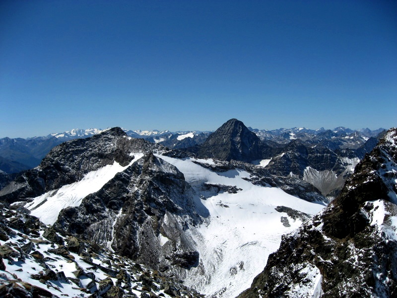
The Silvretta Alps are a mountain range of the Central Eastern Alps shared by Tirol, Vorarlberg and Graubünden. The Austrian states of Tirol and Vorarlberg are connected by a pass road. The majority of the peaks are elevated above three thousand metres and are surrounded by glaciers. Thus, the area is also known as the "Blue Silvretta". ()
Local name: Silvretta Area: 297.68 mi²Maximum elevation: 11188 ftElevation: 11188 ftCoordinates: 46°52'0"N, 10°7'0"E
Location
Vorarlberg
ContactAdd
Social media
Add
Day trips
Silvretta Alps – popular in the area (distance from the attraction)
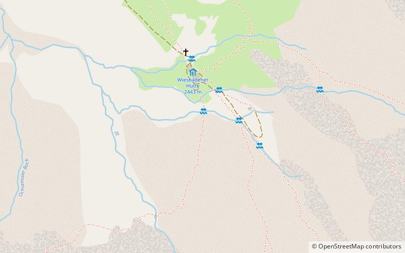
Nearby attractions include: Dreiländerspitze, Bielerhöhe Pass, Hochmaderer, Wiesbadener Hütte.


