Hohe Munde
#229 among destinations in Austria


Facts and practical information
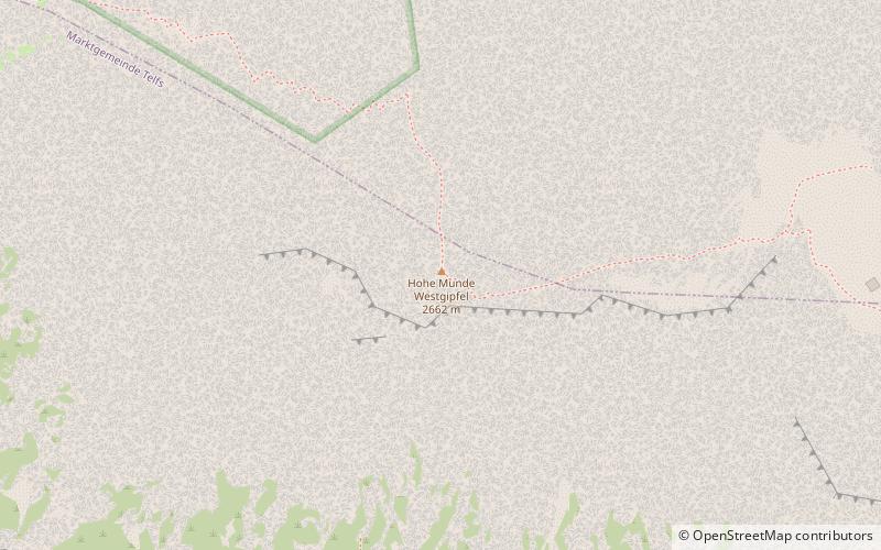
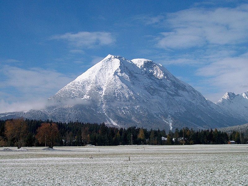
The Hohe Munde is a 2,662-metre-high mountain at the eastern end of the Mieming Chain in the Austrian state of Tyrol. It has two peaks: the west top and the east top or Mundekopf. ()
TyrolAustria
Hohe Munde – popular in the area (distance from the attraction)
Nearby attractions include: Toni-Seelos-Olympiaschanze, Wildsee, Schneefernerkopf, Golfplatz Seefeld-Wildmoos.
 Sport venue, Sport
Toni-Seelos-Olympiaschanze, Seefeld in Tirol
134 min walk • Toni-Seelos-Olympiaschanze is a ski jumping hill in Seefeld outside of Innsbruck, Austria. It is a part of the Seefeld Nordic Competence Centre consists of two hills, a normal hill with a hill size of HS109 and medium hill with at HS75.
 Nature, Natural attraction, Lake
Wildsee, Seefeld in Tirol
149 min walk • The Wildsee, occasionally also called the Seefelder See, is a lake near the Austrian resort of Seefeld in Tirol at the foot of the Gschwandtkopf. It has an area of 6.1 hectares and a maximum depth of 5.1 metres.
 Nature, Natural attraction, Mountain
Schneefernerkopf
164 min walk • Schneefernerkopf, a prominent peak nestled in the Eastern Alps, stands as a majestic testament to Austria's alpine grandeur. At an elevation of 2,962 meters, it is one of the country's highest summits, offering breathtaking views and challenging terrain for...
 47°19'44"N • 11°7'60"E
Golfplatz Seefeld-Wildmoos, Seefeld in Tirol
81 min walk • Outdoor activities, Golf
 Nature, Natural attraction, Lake
Wildmoossee
91 min walk • The Wildmoossee is an aperiodic mountain lake, 3 kilometres west of Seefeld in Tirol near the village of Wildmoos in the market borough of Telfs. The lake lies in the area of the water-soluble main dolomite of the Seefeld Plateau at a height of 1,316 metres.
 Valley
Inntal, Stams
155 min walk • The Inntal is the valley containing the Inn river in Switzerland, Austria and Germany. The valley has a total length of 517 km and the biggest city located in Inntal is Innsbruck.
 Natural attraction, Nature, Mountain
Hochwanner
89 min walk • At 2,744 metres, the Hochwanner is the second highest mountain in Germany after the Zugspitze. In addition the Hochwanner is the highest peak on the main ridge of the Wetterstein running from Gatterl to the Upper Wettersteinspitze above Mittenwald in an east–west direction.
 Nature, Natural attraction, Mountain
Gschwandtkopf
138 min walk • The Gschwandtkopf is a mountain south of the ski resort of Seefeld in Tirol in the Austrian state of Tyrol. It is 1,495 metres high. There are two inns at the summit: the Ötzi Hut and the Sonnenalm.
 Nature, Natural attraction, Mountain
Hochplattig
100 min walk • The Hochplattig is a mountain, 2,768 m high, and the highest summit in the Mieming Chain, a mountain range in the Northern Limestone Alps in the state of Tyrol, Austria.
 Area
AreaPfaffenhofen, Telfs
86 min walk • Pfaffenhofen is a municipality in the district of Innsbruck-Land in the Austrian state of Tyrol located 22 km west of Innsbruck and 1.7 km south of Telfs. The village was mentioned in documents in 1197 for the first time.
 Nature, Natural attraction, Natural feature
Wetterstein
131 min walk • The Wetterstein mountains, colloquially called Wetterstein, is a mountain group in the Northern Limestone Alps within the Eastern Alps. It is a comparatively compact range located between Garmisch-Partenkirchen, Mittenwald, Seefeld in Tirol and Ehrwald along the border between Germany and Austria.
