Döbling Synagogue, Vienna
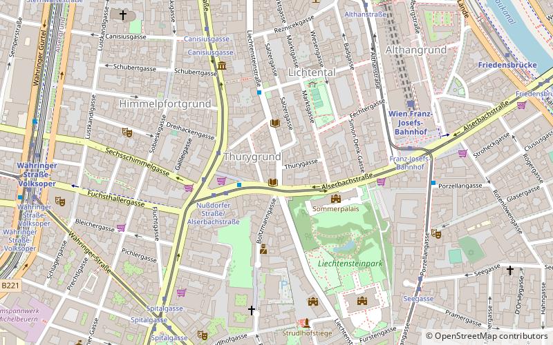
Map
Facts and practical information
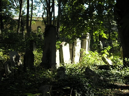
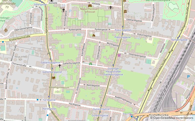
The Döbling Synagogue stood in the Dollinergasse in the suburb of Oberdöbling in the 19th district of Vienna, Döbling. It was opened in 1907 but was ruined and partially destroyed in the Kristallnacht pogrom in November 1938. Later, the synagogue was deconsecrated and in 1995, it was replaced with a modern apartment tower. ()
Address
Hofzeile 18 Döbling, 1190 Wien, ÖsterreichDöbling (Oberdöbling)Vienna
ContactAdd
Social media
Day trips
Döbling Synagogue – popular in the area (distance from the attraction)
Nearby attractions include: Liechtenstein Museum, Volksoper, Kaasgrabenkirche, St. Michael.
Frequently Asked Questions (FAQ)
Which popular attractions are close to Döbling Synagogue?
Nearby attractions include Oberdöbling, Vienna (4 min walk), Döbling Parish Church, Vienna (7 min walk), Zacherlfabrik, Vienna (8 min walk), Unterdöbling, Vienna (9 min walk).
How to get to Döbling Synagogue by public transport?
The nearest stations to Döbling Synagogue:
Tram
Bus
Train
Metro
Tram
- Döblinger Hauptstraße/Gatterburggasse • Lines: 37 (2 min walk)
- Pokornygasse • Lines: 37 (5 min walk)
Bus
- Gatterburggasse • Lines: 10A, 35A, N35, N38 (5 min walk)
- Spittelau • Lines: 37A, N8 (7 min walk)
Train
- Wien Spittelau (10 min walk)
- Wien Oberdöbling (14 min walk)
Metro
- Spittelau • Lines: U4, U6 (10 min walk)
- Nußdorfer Straße • Lines: U6 (15 min walk)
