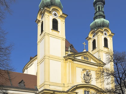
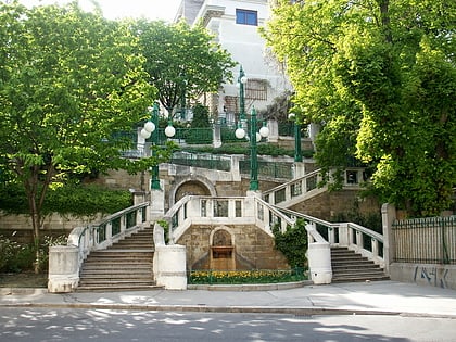
Alsergrund, Vienna
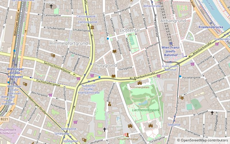
Map
Facts and practical information
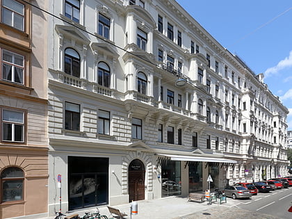
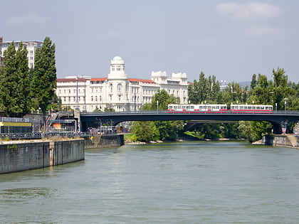
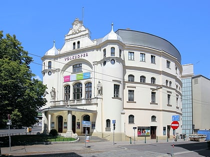
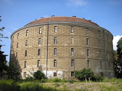
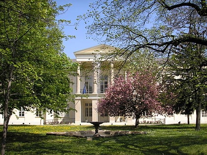
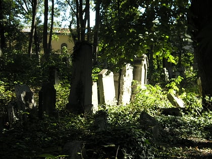
Alsergrund is the ninth district of Vienna, Austria. It is located just north of the first, central district, Innere Stadt. Alsergrund was incorporated in 1862, with seven suburbs. As a central district, the area is densely populated. According to the census of 2001, there were 37,816 inhabitants over 2.99 square km. ()
Day trips
Alsergrund – popular in the area (distance from the attraction)
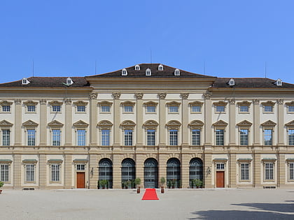
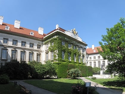
Nearby attractions include: Votivkirche, Sigmund Freud Museum, Liechtenstein Museum, Josephinum.
Frequently Asked Questions (FAQ)
Which popular attractions are close to Alsergrund?
Nearby attractions include Lichtental, Vienna (4 min walk), Lichtentaler Pfarrkirche, Vienna (4 min walk), Schubert Geburtshaus, Vienna (5 min walk), Strudlhofstiege, Vienna (6 min walk).
How to get to Alsergrund by public transport?
The nearest stations to Alsergrund:
Bus
Tram
Train
Metro
Ferry
Bus
- Nußdorfer Straße/Alserbachstraße • Lines: 40A, N38 (2 min walk)
- Lichtentaler Gasse • Lines: N38 (3 min walk)
Tram
- Nußdorfer Straße/Alserbachstraße • Lines: 33, 37, 38, 5 (3 min walk)
- Franz-Josefs-Bahnhof • Lines: 33, 5, D (6 min walk)
Train
- Wien Franz-Josefs-Bahnhof (6 min walk)
- Wien Spittelau (18 min walk)
Metro
- Währinger Straße-Volksoper • Lines: U6 (9 min walk)
- Friedensbrücke • Lines: U4 (10 min walk)
Ferry
- Nationalparkboot Lobau (26 min walk)

