Liebburg, Lienz
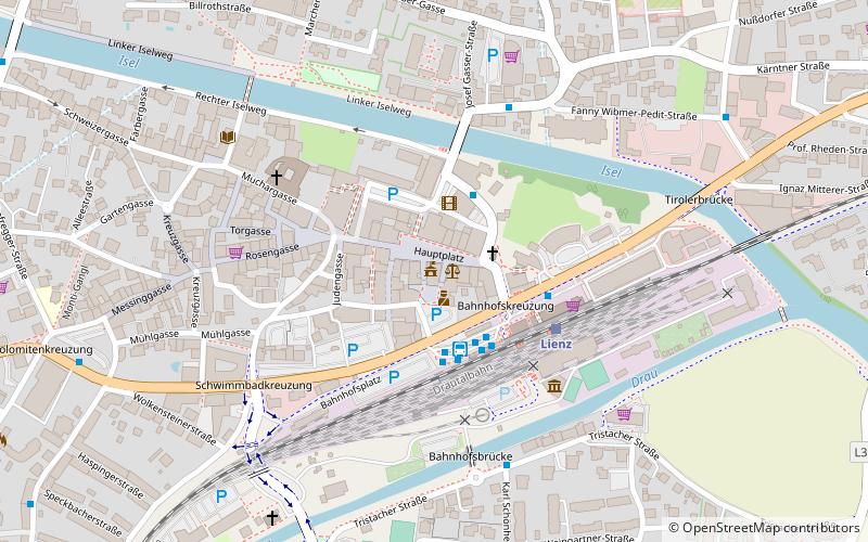
Map

Map

Facts and practical information
Liebburg Castle was once the residential castle of the dynasty of Barons Wolkenstein-Rodenegg on the main square of the Austrian town of Lienz. It was built at the beginning of the 17th century and was the residence of the barons from about 1608 to 1653. Since 1988 it has served as the town hall of the city of Lienz.
Coordinates: 46°49'45"N, 12°46'8"E
Address
Hauptplatz 7Lienz 9900
Contact
+43 4852 600
Social media
Add
Day trips
Liebburg – popular in the area (distance from the attraction)
Nearby attractions include: Burg Bruck, Lienz Friary, Dolomitencenter, Martin Luther Church.
Frequently Asked Questions (FAQ)
Which popular attractions are close to Liebburg?
Nearby attractions include Lienz Friary, Lienz (5 min walk), Stadtbücherei Lienz, Lienz (6 min walk), Martin Luther Church, Lienz (8 min walk), Sankt Andrae, Lienz (13 min walk).
How to get to Liebburg by public transport?
The nearest stations to Liebburg:
Bus
Train
Bus
- Lienz Spitalskirche • Lines: 1, 2, 5, 6 (3 min walk)
- Lienz Bahnhof • Lines: 942 (3 min walk)
Train
- Lienz (4 min walk)
- Lienz Peggetz (29 min walk)


