Stubai Hohenweg
Map

Map

Facts and practical information
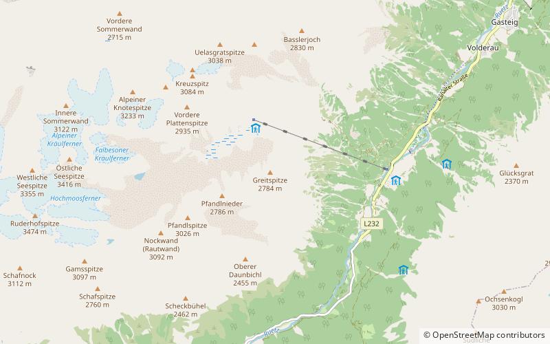
The Stubai Hohenweg or Stubai highroute is a high-level footpath approximately 120 km long, which can be done in 8 or 9 days. It is designed to be a circular route starting in Neustift, but can be started from elsewhere, for example Fulpmes. ()
Location
Tyrol
ContactAdd
Social media
Add
Day trips
Stubai Hohenweg – popular in the area (distance from the attraction)
Nearby attractions include: Innsbrucker Hut, Franz Senn Hut, Schaufelspitze, Schrankogel.


