Linderhütte

Gallery (1)
Map
Map
Facts and practical information
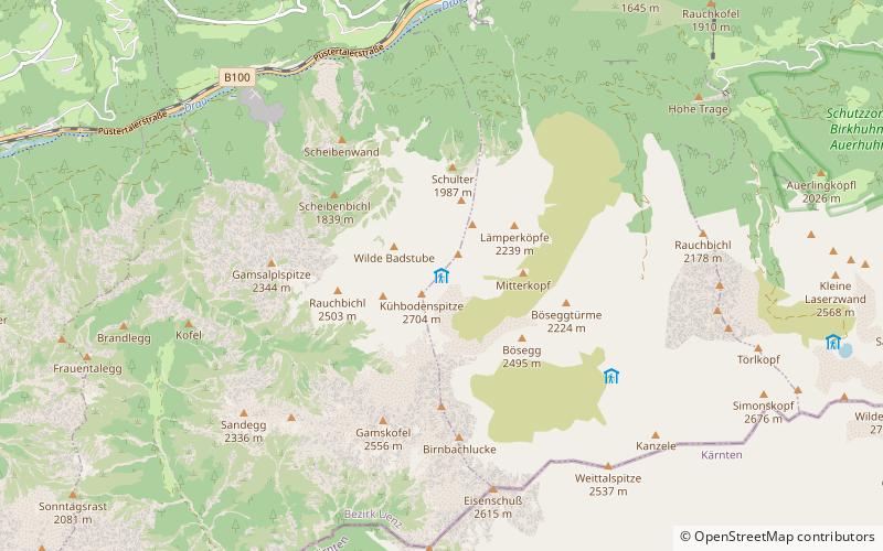
The Linderhütte is a bivouac hut of the Lienz section of the Austrian Tourist Club at 2683 m above sea level in the Lienz Dolomites. It is located on the Spitzkofel ridge east of the Spitzkofel southwest shoulder directly on the path to the Spitzkofel 2718 m a.s.l. It is the oldest hut in the Lienz Dolomites. The Linderhütte was built in the years 1883 - 1884 by Ignaz Linder, an important explorer of the Lienz Dolomites. However, it later fell into disrepair and was rebuilt in 1958-59. In recent years it has been partially renovated and now serves only as an emergency shelter. A stove is available, but you should bring the wood for heating and the water for cooking yourself.
Coordinates: 46°46'12"N, 12°44'25"E
Day trips