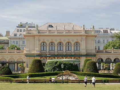
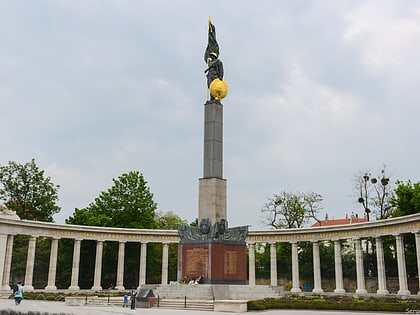
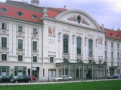
Landstraße, Vienna
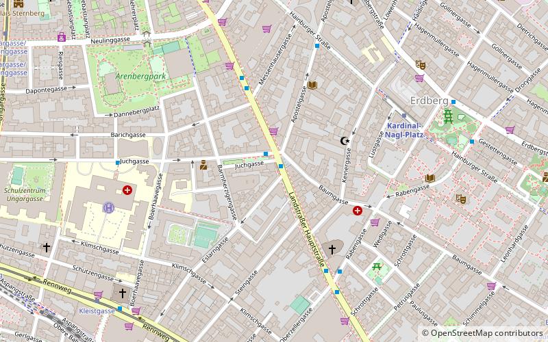
Map
Gallery
Facts and practical information
Landstraße is the 3rd municipal district of Vienna, Austria. It is near the center of Vienna and was established in the 19th century. Landstraße is a heavily populated urban area with many workers and residential homes. It has 89,834 inhabitants in an area of 7.42 km². It has existed since approximately 1200 AD. In 1192, the English king Richard the Lionheart was captured in the Erdberg neighbourhood, after the unsuccessful Third Crusade. ()
Day trips
Landstraße – popular in the area (distance from the attraction)
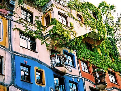
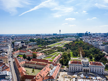
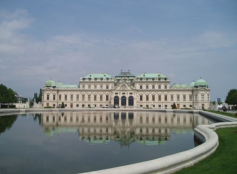
Nearby attractions include: Belvedere, Museum of Military History, Hundertwasserhaus, Österreichische Galerie Belvedere.
Frequently Asked Questions (FAQ)
Which popular attractions are close to Landstraße?
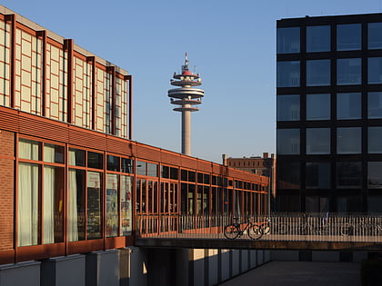
Nearby attractions include MAK Tower Gefechtsturm Arenbergpark, Vienna (7 min walk), St. Rochus, Vienna (12 min walk), Haus Wittgenstein, Vienna (13 min walk), Palais Rasumofsky, Vienna (15 min walk).
How to get to Landstraße by public transport?
The nearest stations to Landstraße:
Bus
Metro
Tram
Train
Bus
- Eslarngasse • Lines: 74A, 77A (1 min walk)
- Barichgasse • Lines: 74A (4 min walk)
Metro
- Kardinal-Nagl-Platz • Lines: U3 (6 min walk)
- Rochusgasse • Lines: U3 (11 min walk)
Tram
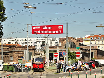
- Kleistgasse • Lines: 71 (9 min walk)
- Oberzellergasse • Lines: 71 (9 min walk)
Train
- Wien Rennweg (12 min walk)
- Wien St. Marx (15 min walk)
