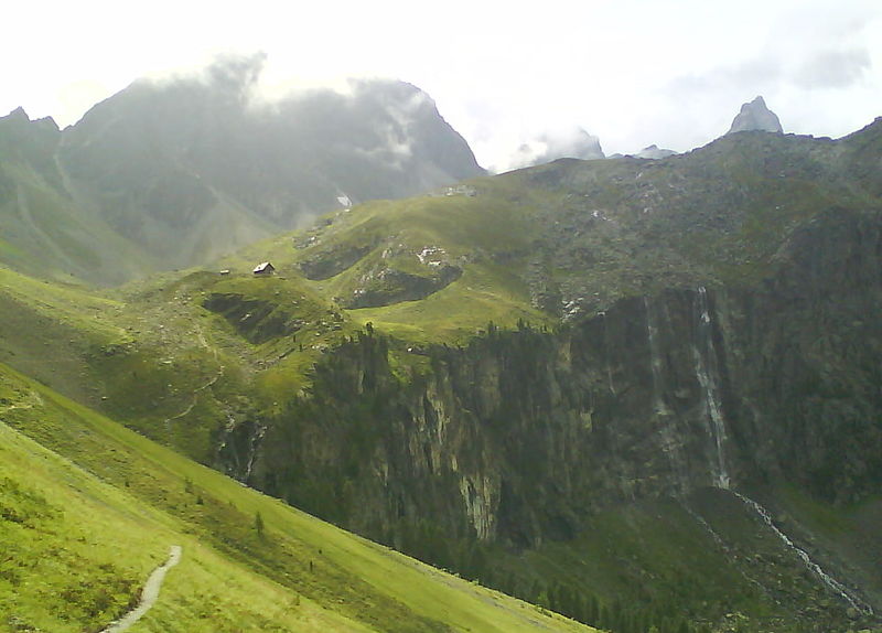
Anton-Renk-Hütte

Gallery (2)
Map
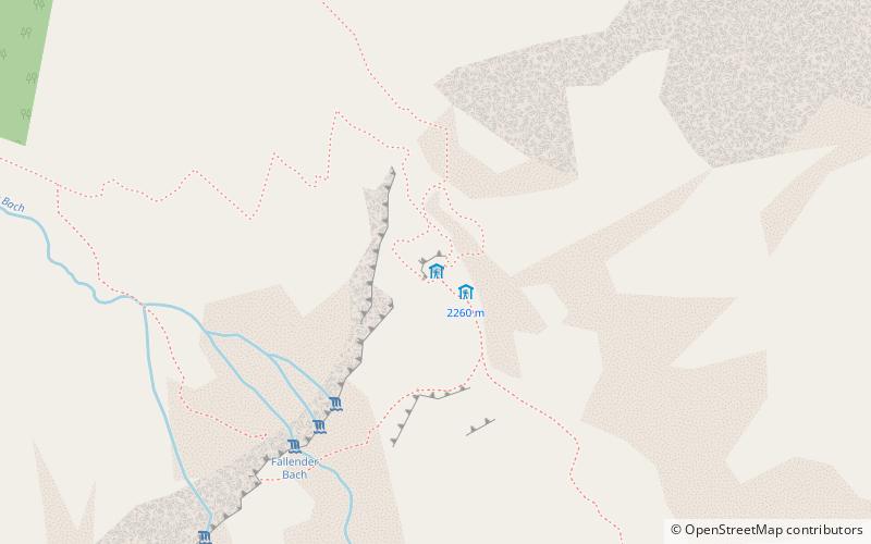
Map
Gallery
Facts and practical information
The Anton Renk Hut is a non-managed refuge of the Aachen Section of the German Alpine Club. It is located at 2261 m above sea level in the Ötztal Alps. With 18 mattress camps, it is a base for hiking the Aachener Höhenweg.
Coordinates: 47°0'40"N, 10°41'56"E
Location
Tyrol
ContactAdd
Social media
Add
Day trips