Kaunergrathütte
Map

Map

Facts and practical information
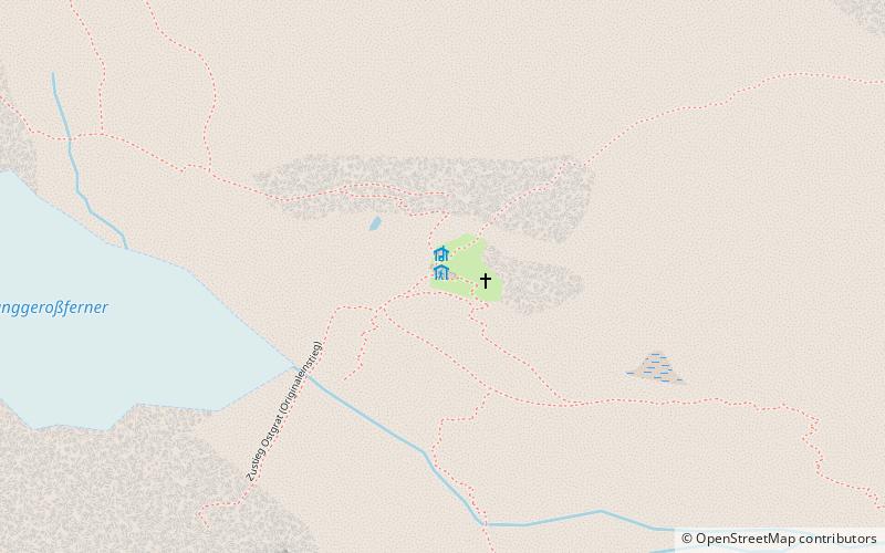
Kaunergrat Hut is an alpine club hut of the Mainz Section of the German Alpine Club. It is located in the Ötztal Alps south of the Verpeilspitze and northeast of the Watzespitze, the main peak of the Kaunergrat, in the western part of the municipal area of St. Leonhard im Pitztal near the border with the municipality of Kaunertal. The hut is the highest hut of the Pitztal and is located about 200 meters below the Madatschjoch, a passage into the Kaunertal. The hut does not have a material ropeway.
Coordinates: 46°59'38"N, 10°48'25"E
Location
32 PlangerossTyrol
ContactAdd
Social media
Add
Day trips
Kaunergrathütte – popular in the area (distance from the attraction)
Nearby attractions include: Rifflsee, Verpeilspitze, Wassertalkogel, Hohe Geige.


