Reißkofel
Map

Map

Facts and practical information
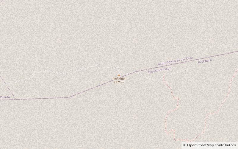
The Reißkofel is, at 2,371 metres above the Adriatic, the highest mountain of the Gailtal Alps east of the Lienz Dolomites. It is situated in the centre of the Gailtal range, part of the Southern Limestone Alps, in the Austrian state of Carinthia. ()
Alternative names: First ascent: 1848Elevation: 7779 ftProminence: 4560 ftCoordinates: 46°41'9"N, 13°8'48"E
Location
Carinthia
ContactAdd
Social media
Add
Day trips
Reißkofel – popular in the area (distance from the attraction)
Nearby attractions include: Burgruine Weidenburg, Gailtal Alps, Pfarrkirche hl. Daniel, Torkofel.


