Torkofel
Map

Map

Facts and practical information
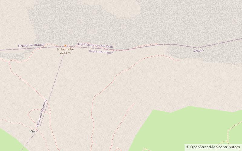
Torkofel is a mountain of the Gailtal Alps in Carinthia, Austria. It is the highest summit of the Jauken Group, a small limestone massif west of Reißkofel. It lies between the Drava valley to the north and the Gail valley in the south. It was first climbed in 1853 by the Johann Festin von Wald and Paul Grohmann. ()
Alternative names: First ascent: 1853Elevation: 7467 ftProminence: 2169 ftCoordinates: 46°42'0"N, 13°4'0"E
Location
Carinthia
ContactAdd
Social media
Add
Day trips
Torkofel – popular in the area (distance from the attraction)
Nearby attractions include: Gailtaler Polinik, Reißkofel, Burgruine Weidenburg, Gailtal Alps.


