Lower Inn Valley
Map

Map

Facts and practical information
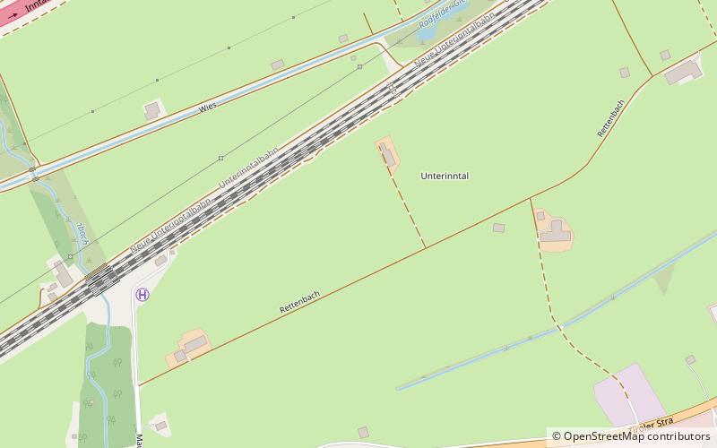
The Lower Inn Valley is that part of the Inntal valley through which the Inn river flows from a point a few kilometres west of Innsbruck near its confluence with the Melach downstream to a few kilometres before Rosenheim. A further distinction can be made between the Tyrolean Lower Inn Valley and the Bavarian Lower Inn Valley. ()
Location
Tyrol
ContactAdd
Social media
Add
Day trips
Lower Inn Valley – popular in the area (distance from the attraction)
Nearby attractions include: Museum of Tyrolean Farms, Berglsteiner See, Schloss Matzen, Gratlspitze.


