Erlanger Hütte
Map

Map

Facts and practical information
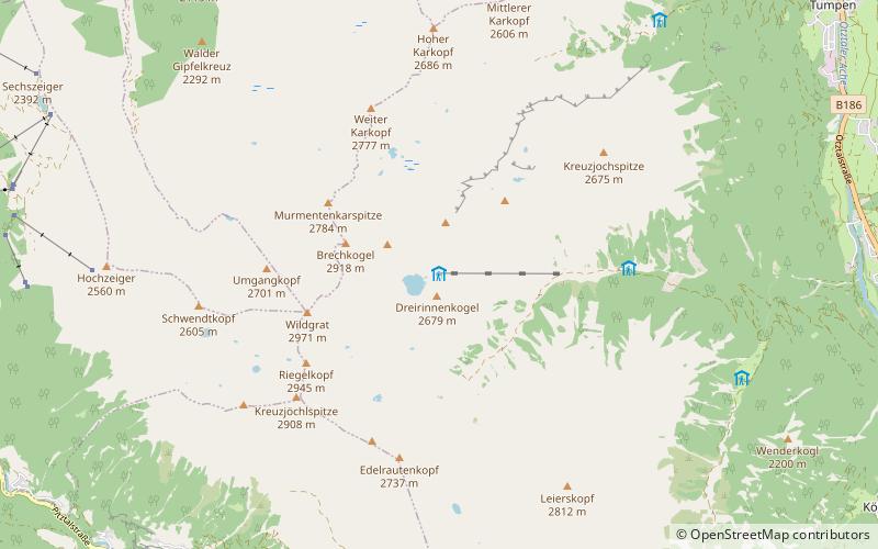
Erlanger Hütte is a category I refuge of the Erlangen Section of the German Alpine Club. It is located in the northern Geigenkamm in the Ötztal Alps, at 2541 m above sea level near the Wettersee below the Wildgrat, its valley town is Umhausen. It has carried the environmental seal of approval for alpine club huts since 2000.
Coordinates: 47°8'41"N, 10°50'50"E
Location
Tyrol
ContactAdd
Social media
Add
Day trips
Erlanger Hütte – popular in the area (distance from the attraction)
Nearby attractions include: Acherkogel, Wildgrat, Fundusfeiler, Ötztal.


