Sautens
Map

Gallery

Facts and practical information
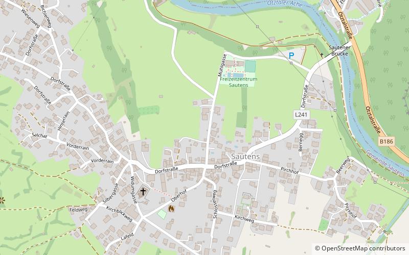
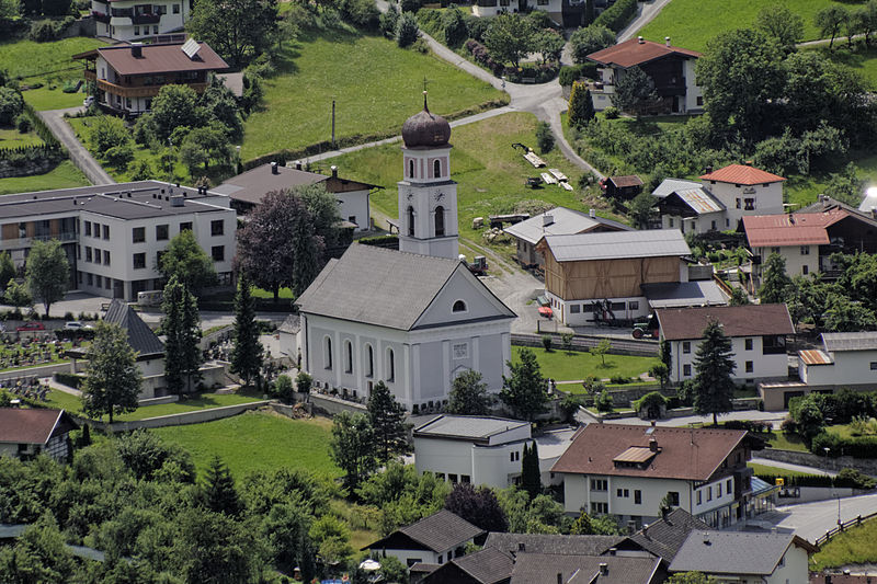
Sautens is a municipality in the Imst district located 9 kilometres southeast of Imst on the lower course of the Ötztaler Ache. The village is located to catch the sun but is protected from the wind, which makes for an especially mild climate. The main source of income is agriculture. Fruit is especially important with a good part of the harvest used to make Schnapps. ()
Day trips
Sautens – popular in the area (distance from the attraction)
Nearby attractions include: Acherkogel, Wildgrat, Ötztal, Hochreichkopf.


