Großer Beil
Map

Map

Facts and practical information
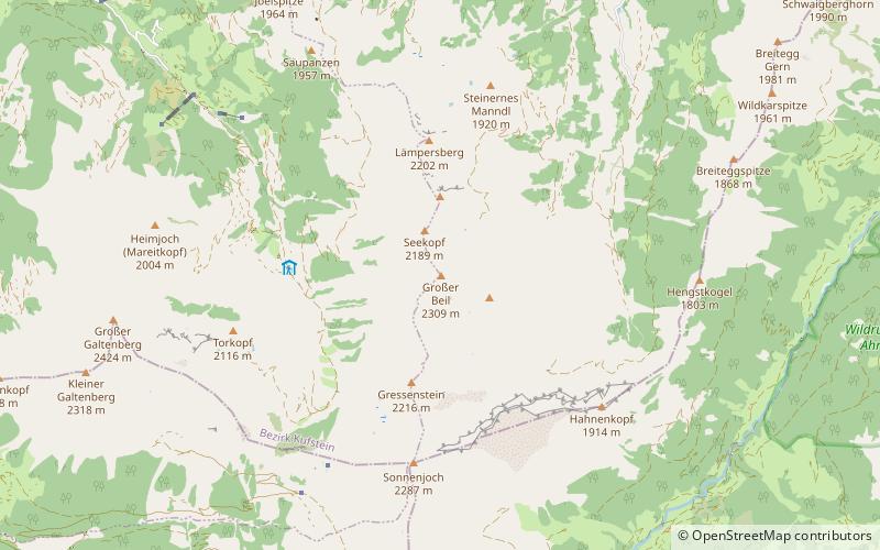
The Großer Beil, is a 2,309 m high mountain at the head of the Wildschönau valley in the Austrian state of Tyrol. It belongs to the Kitzbühel Alps and is the highest summit on the ridge that separates the Wildschönau from the neighbouring valley of the Alpbach to the west. Around 500 metres north is the 2,189 m high Seekopf and a further 500 metres beyond that is the Kleine Beil at 2,197 m. The next mountain to the south is the 2,216 m high Gressenstein. On the other side of the valley is the Wildkarspitze. ()
Location
Tyrol
ContactAdd
Social media
Add
Day trips
Großer Beil – popular in the area (distance from the attraction)
Nearby attractions include: Wiedersberger Horn, Großer Galtenberg, Gratlspitze, Torhelm.


