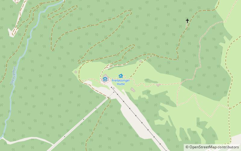
Freilassinger Hütte
Map

Map

Facts and practical information
Freilassinger Hütte is a refuge of the Freilassing Section of the German Alpine Club. It is located at 1550 m above sea level on the southern edge of the Tennengebirge. Built in 1934, the base is run as a self-catering hut and is the starting point for numerous climbing routes, round trips and traverses as well as hikes on the high plateau. In winter, ski tours are possible, and a ski slope also passes by.
Coordinates: 47°28'11"N, 13°17'33"E
Day trips
Freilassinger Hütte – popular in the area (distance from the attraction)
Nearby attractions include: Burg Hohenwerfen, Eisriesenwelt, Laufen Hut, Raucheck.


