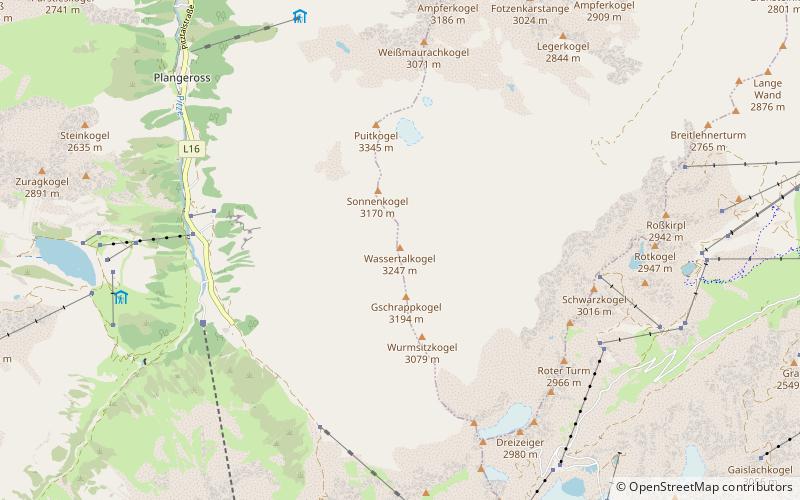
Wassertalkogel
#431 among destinations in Austria
![Wassertalkogel location map](https://tzmedia.b-cdn.net/media/images/static-maps/at/46_9668_10_9053.jpg)
Facts and practical information
The Wassertalkogel is a mountain in the Geigenkamm group of the Ötztal Alps. ()
TyrolAustria
Wassertalkogel plan & book
Unleash the traveler in you — discover the cheapest flight deals, find the perfect hotel or hostel nearby, and search for the best car rental prices. Travel at your own pace to discover new places and enjoy your journey.
Wassertalkogel – popular in the area (distance from the attraction)
Nearby attractions include: Rettenbach glacier, Hinterer Brunnenkogel, Innere Schwarze Schneid, Rifflsee.
2.7 miSEWinter sport, Ski areaRettenbach glacier
69 min walk • Nestled in the stunning alpine landscape of Austria, the Rettenbach Glacier offers a unique and exhilarating experience for skiing enthusiasts. This high-altitude ski area is renowned for its excellent snow conditions and extensive ski runs that cater to both beginners...
4.3 miSWNature, Natural attraction, MountainHinterer Brunnenkogel
110 min walk • The Hinterer Brunnenkogel is a mountain in the Weisskamm group of the Ötztal Alps. Its summit can be reached with the highest aerial tramway in Austria.
2.7 miSNature, Natural attraction, MountainInnere Schwarze Schneid
70 min walk • The Innere Schwarze Schneid is a mountain in the Weisskamm group of the Ötztal Alps.
2.7 miWNature, Natural attraction, LakeRifflsee
69 min walk • Rifflsee is a lake of Tyrol, Austria. It is the largest lake in the Ötztal Alps. The mountain lake is located in the Kaunergrat west of the Pitztal and is a typical moraine reservoir.
5.4 miNWNature, Natural attraction, MountainVerpeilspitze
137 min walk • The Verpeilspitze is a mountain in the Kaunergrat group of the Ötztal Alps.
4.9 miSE 3 miSENature, Natural attraction, MountainÄussere Schwarze Schneid
77 min walk • The Äussere Schwarze Schneid is a mountain in the Weisskamm group of the Ötztal Alps.
2.6 miNNature, Natural attraction, MountainHohe Geige
67 min walk • The Hohe Geige is the highest mountain in the Geigenkamm group of the Ötztal Alps. It has a summit elevation of 3,395 m above sea level.
1 miNNature, Natural attraction, MountainPuitkogel
27 min walk • The Puitkogel is a mountain in the Geigenkamm group of the Ötztal Alps.
6.1 miNWNature, Natural attraction, MountainRofelewand
156 min walk • The Rofelewand is a mountain in the Kaunergrat group of the Ötztal Alps.
3.5 miSENature, Natural attraction, ValleyÖtztal Glacier Road
91 min walk • The Ötztal Glacier Road, at 2,830 m, is the second highest paved road in Europe. It is the access road from Sölden to the Rettenbach glacier and Tiefenbachferner glacier in the Ötztal Alps. It was built in 1972 as a spur from the existing Hochsölden road. The road climbs the Rettenbach valley from Solden in the Ötztal valley in Tyrol.