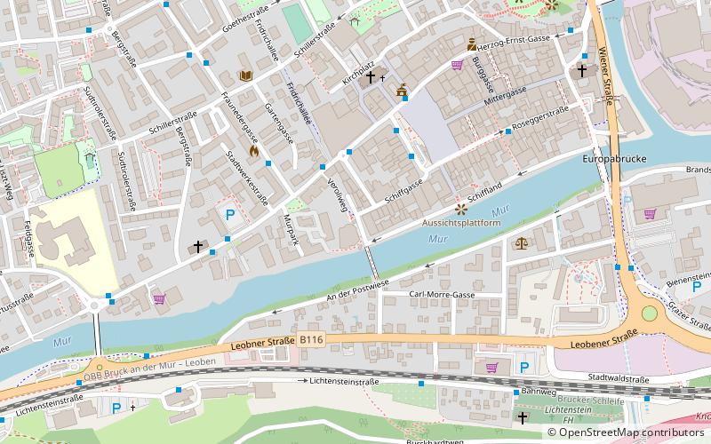
Mariahilfer-Kapelle, Bruck an der Mur
Map

Map

Facts and practical information
The list of listed objects in Bruck an der Mur contains the 63 listed immovable objects in the Austrian municipality of Bruck an der Mur in the Styrian district of Bruck-Mürzzuschlag.
Coordinates: 47°24'30"N, 15°16'4"E
Address
Bruck an der Mur
ContactAdd
Social media
Add
Day trips
Mariahilfer-Kapelle – popular in the area (distance from the attraction)
Nearby attractions include: Heiligen-Geist-Kapelle, Mariensäule, Eiserner Brunnen, Kornmesserhaus.
Frequently Asked Questions (FAQ)
Which popular attractions are close to Mariahilfer-Kapelle?
Nearby attractions include Bildstock vor der Klosterkaserne, Bruck an der Mur (3 min walk), Mariensäule, Bruck an der Mur (4 min walk), Hl. Florian, Bruck an der Mur (4 min walk), Eiserner Brunnen, Bruck an der Mur (4 min walk).
How to get to Mariahilfer-Kapelle by public transport?
The nearest stations to Mariahilfer-Kapelle:
Bus
Train
Bus
- Theodor-Körner-Straße • Lines: 1, 11, 2, 30, 4, 96, 97 (2 min walk)
- Koloman-Wallisch-Platz • Lines: 1, 100, 11, 13, 167, 171, 172, 175, 180, 181, 2, 3, 30, 4, 90, 91, 92, 93, 94, 96, 97 (3 min walk)
Train
- Bruck an der Mur (17 min walk)


