Orpheum, Graz
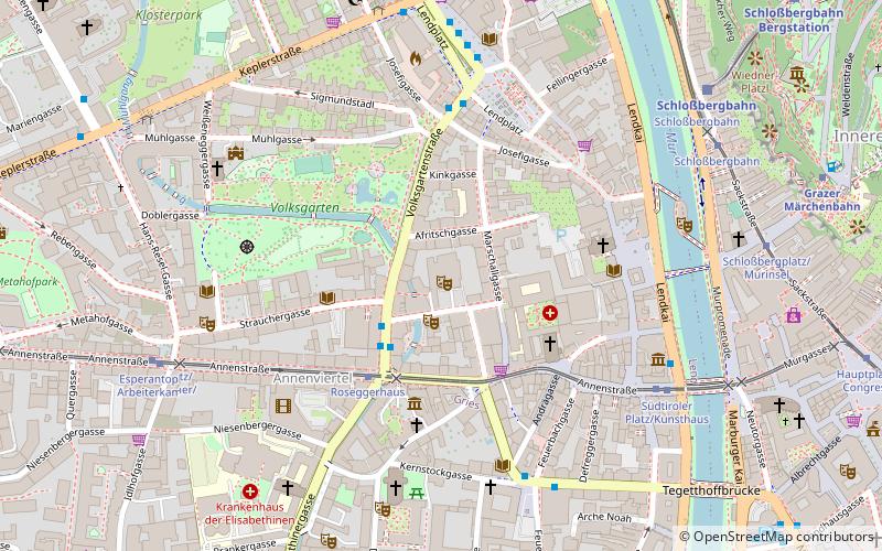
Map

Map

Facts and practical information
The Graz Orpheum in the Lend district is historically one of the oldest venues in Graz; it is housed in the building that replaced the 1899-1936 Graz Varieté in 1950 and, along with the Schloßbergbühne Kasematten and the Dom im Berg, is part of the Grazer Spielstätten GmbH, founded in 2008.
Coordinates: 47°4'21"N, 15°25'48"E
Day trips
Orpheum – popular in the area (distance from the attraction)
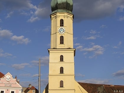
Nearby attractions include: Kunsthaus, Schlossberg, Murinsel, Franciscan Church.
Frequently Asked Questions (FAQ)
Which popular attractions are close to Orpheum?
Nearby attractions include Barmherzigenkirche Maria Verkündigung, Graz (4 min walk), Bürgerspitalskirche zum Heiligen Geist, Graz (4 min walk), Mariahilfer Kirche, Graz (4 min walk), Da Loam, Graz (5 min walk).
How to get to Orpheum by public transport?
The nearest stations to Orpheum:
Bus
Tram
Train
Bus
- Roseggerhaus • Lines: 241, 40, 67, 67E, N1, N2, N3, N7 (3 min walk)
- Volksgartenstraße • Lines: 40, 67, 67E, N3 (4 min walk)
Tram
- Roseggerhaus • Lines: 1, 4, 6, 7 (3 min walk)
- Südtiroler Platz/Kunsthaus • Lines: 1, 4, 6, 7 (6 min walk)
Train
- Schloßbergbahn (8 min walk)
- Fairytale Express (10 min walk)


