Gürtel, Vienna
Map
Gallery
Facts and practical information
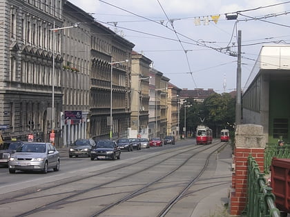
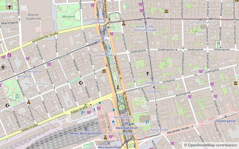
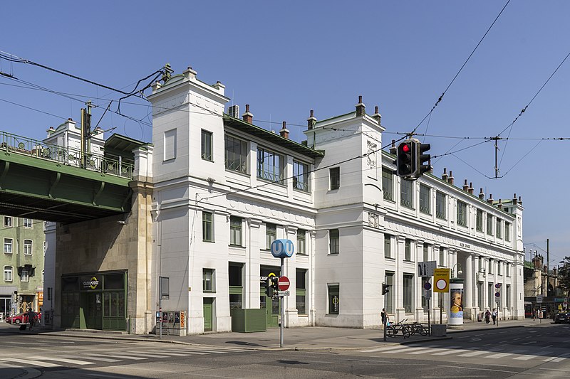
The Gürtel is a substantial city road of Vienna. Running 13.1 km parallel to the famous Vienna Ring Road, it encompasses the inner city districts and follows the route of the former Linienwall outer fortification. The city's red-light district is situated around the Gürtel. ()
Address
Neubau (Schottenfeld)Vienna
ContactAdd
Social media
Add
Day trips
Gürtel – popular in the area (distance from the attraction)
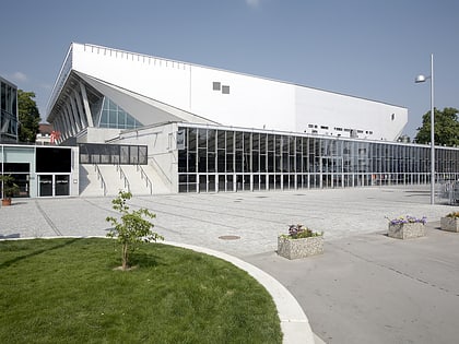
Nearby attractions include: Wiener Stadthalle, Haus des Meeres, Leopold Museum, Mumok.
Frequently Asked Questions (FAQ)
Which popular attractions are close to Gürtel?
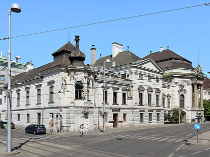
Nearby attractions include Imperial Furniture Collection, Vienna (10 min walk), Haydnhaus, Vienna (12 min walk), Raimund Theater, Vienna (13 min walk), Mariahilf, Vienna (15 min walk).
How to get to Gürtel by public transport?
The nearest stations to Gürtel:
Tram
Bus
Metro
Train
Light rail
Tram
- Stollgasse • Lines: 5 (3 min walk)
- Urban-Loritz-Platz • Lines: 18, 49, 6, 9 (4 min walk)
Bus
- Westbahnhof • Lines: N49, N54, N6, N8, Val1 (4 min walk)
- Urban-Loritz-Platz • Lines: N49, N8 (4 min walk)
Metro
- Westbahnhof • Lines: U3, U6 (6 min walk)
- Burggasse-Stadthalle • Lines: U6 (8 min walk)
Train
- Wien Westbahnhof (6 min walk)
Light rail
- Laurenzgasse • Lines: 1, 62, Wlb (37 min walk)
