Vienna Ring Road, Vienna
Map
Gallery
Facts and practical information
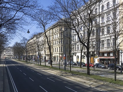
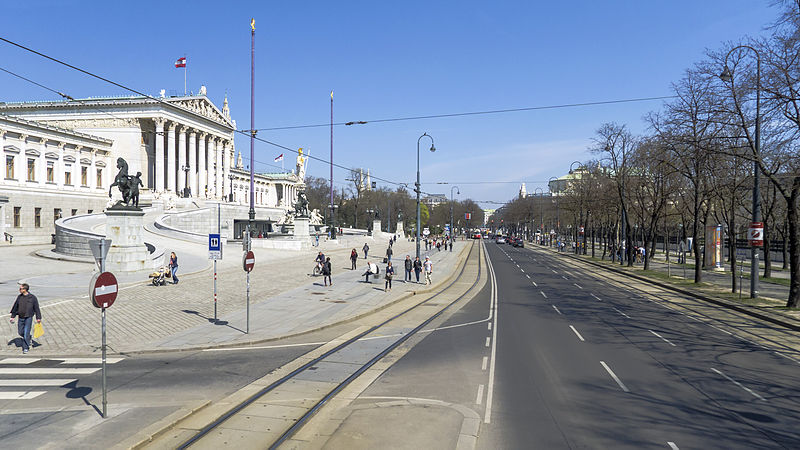
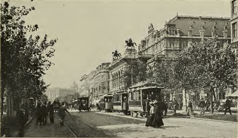
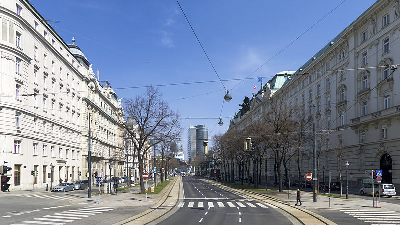
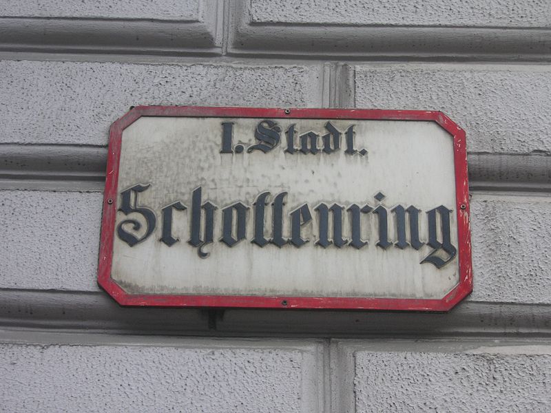
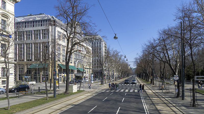
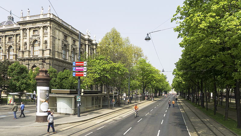
The Vienna Ring Road is a circular grand boulevard that serves as a ring road around the historic Innere Stadt district of Vienna, Austria. The road is located on sites where medieval city fortifications once stood, including high walls and the broad open field ramparts, criss-crossed by paths that lay before them. ()
Address
Innere Stadt (Widmerviertel)Vienna
ContactAdd
Social media
Add
Day trips
Vienna Ring Road – popular in the area (distance from the attraction)
Nearby attractions include: Kunsthistorisches Museum, Hofburg, Natural History Museum, Mozart Statue.
Frequently Asked Questions (FAQ)
Which popular attractions are close to Vienna Ring Road?
Nearby attractions include Weltmuseum Wien, Vienna (2 min walk), Kunsthistorisches Museum, Vienna (2 min walk), Maria-Theresien-Platz, Vienna (3 min walk), Mozart Statue, Vienna (3 min walk).
How to get to Vienna Ring Road by public transport?
The nearest stations to Vienna Ring Road:
Tram
Bus
Metro
Light rail
Ferry
Train
Tram
- Burgring • Lines: 1, 2, 71, D, U2Z (2 min walk)
- Ring, Volkstheater • Lines: 1, 2, 46, 49, 71, D, U2Z (6 min walk)
Bus
- Burgring • Lines: 57A, N25, N38, N60, N66 (3 min walk)
- Museumsquartier • Lines: 57A, N46, N49 (4 min walk)
Metro
- Volkstheater • Lines: U3 (6 min walk)
- Herrengasse • Lines: U3 (9 min walk)
Light rail
- Oper, Karlsplatz • Lines: 62, Wlb (10 min walk)
- Karlsplatz • Lines: 1, 62, Wlb (11 min walk)
Ferry
- Nationalparkboot Lobau (24 min walk)
Train
- Wien Mitte (26 min walk)
- Wien Rennweg (32 min walk)
