Augartenbrücke, Vienna
Map
Gallery
Facts and practical information
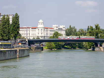
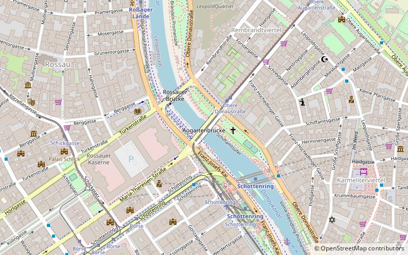
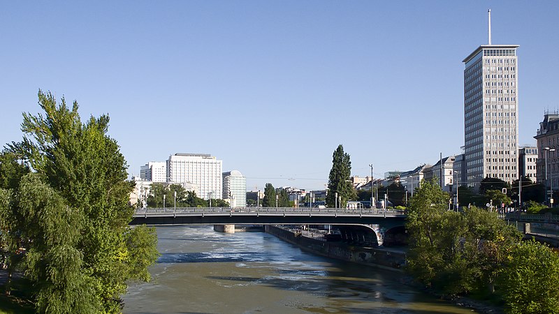
The Augartenbrücke is a bridge that crosses the Donaukanal in Vienna, which connects the 9th district and the 1st district on the southwest side of the canal with the 2nd district, Leopoldstadt, on the northeast side. There has been a bridge on the site since 1782. ()
Address
LeopoldstadtVienna
ContactAdd
Social media
Add
Day trips
Augartenbrücke – popular in the area (distance from the attraction)
Nearby attractions include: Flex, Palais Ephrussi, Sigmund Freud Museum, Liechtenstein Museum.
Frequently Asked Questions (FAQ)
Which popular attractions are close to Augartenbrücke?
Nearby attractions include Ringturm, Vienna (4 min walk), Rossauer Kaserne, Vienna (4 min walk), Old Catholic Church of Austria, Vienna (7 min walk), Karmelitermarkt, Vienna (9 min walk).
How to get to Augartenbrücke by public transport?
The nearest stations to Augartenbrücke:
Tram
Bus
Metro
Ferry
Train
Light rail
Tram
- Obere Donaustraße • Lines: 31 (2 min walk)
- Schottenring • Lines: 1, 31, U2Z (5 min walk)
Bus
- Schottenring • Lines: 3A, N25, N31, N38, N60, N66 (4 min walk)
- Schottenring/Herminengasse • Lines: N31 (5 min walk)
Metro
- Schottenring • Lines: U2, U4 (4 min walk)
- Roßauer Lände • Lines: U4 (7 min walk)
Ferry
- Nationalparkboot Lobau (7 min walk)
Train
- Wien Franz-Josefs-Bahnhof (18 min walk)
- Wien Praterstern (26 min walk)
Light rail
- Oper, Karlsplatz • Lines: 62, Wlb (30 min walk)
