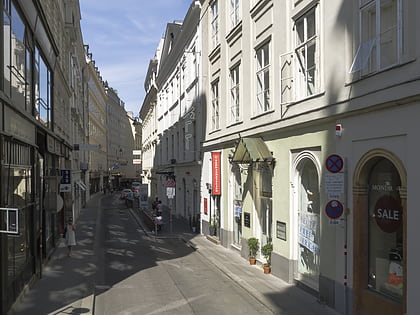
Deckergasse, Vienna
Map

Map

Facts and practical information
Coordinates: 48°12'31"N, 16°22'9"E
Address
Innere Stadt (Kärntner Viertel)Vienna
ContactAdd
Social media
Add
Day trips
Deckergasse – popular in the area (distance from the attraction)
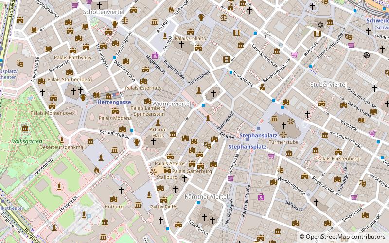
Nearby attractions include: Graben, St. Stephen's Cathedral, Spanish Riding School, Stock im Eisen.
Frequently Asked Questions (FAQ)
Which popular attractions are close to Deckergasse?
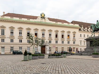
Nearby attractions include Pestsäule, Vienna (1 min walk), Palais Bartolotti-Partenfeld, Vienna (2 min walk), Innere Stadt, Vienna (2 min walk), Peterskirche, Vienna (2 min walk).
How to get to Deckergasse by public transport?
The nearest stations to Deckergasse:
Bus
Metro
Tram
Light rail
Ferry
Train
Bus
- Graben/Petersplatz • Lines: 1A, 2A (1 min walk)
- Habsburgergasse • Lines: 1A, 2A (3 min walk)
Metro
- Stephansplatz • Lines: U1, U3 (4 min walk)
- Herrengasse • Lines: U3 (5 min walk)
Tram
- Burgring • Lines: 1, 2, 71, D, U2Z (11 min walk)
- Rathausplatz/Burgtheater • Lines: 1, 71, D, U2Z (11 min walk)
Light rail
- Oper, Karlsplatz • Lines: 62, Wlb (12 min walk)
- Karlsplatz • Lines: 1, 62, Wlb (15 min walk)
Ferry
- Nationalparkboot Lobau (14 min walk)
Train
- Wien Mitte (19 min walk)
- Wien Rennweg (31 min walk)


