Hernals, Vienna
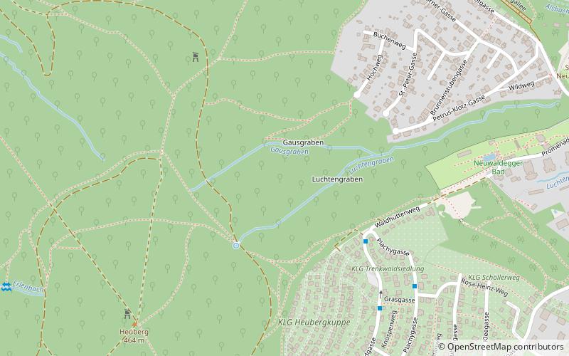
Map
Facts and practical information
Hernals is the 17th district of Vienna, Austria. Hernals is in northwest Vienna. It was annexed in 1892 out of the townships of Hernals, Dornbach, and Neuwaldegg. ()
Getting there by public transportation
Public transportation stops near this location
- Bus
- Tram
 Bus
Bus
- Calculate routeMitterberg 4 min walk
- Calculate routeGrasgasse 6 min walk
- Calculate routeGrabengasse 6 min walk
- Calculate routeMoosgasse 8 min walk
- Calculate routeNeuwaldegg 15 min walk
- Calculate routeHimmelmutterweg 20 min walk
- Calculate routeDornbacher Straße 28 min walk
Day trips


Frequently Asked Questions (FAQ)
How to get to Hernals by public transport?
The nearest stations to Hernals:
Bus
Tram
Bus
- Mitterberg • Lines: 44A (4 min walk)
- Grasgasse • Lines: 44A (6 min walk)
Tram
- Neuwaldegg • Lines: 43 (15 min walk)
- Himmelmutterweg • Lines: 43 (20 min walk)