Uttara, Dhaka
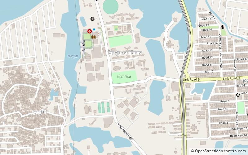
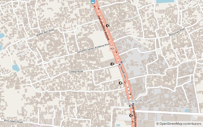
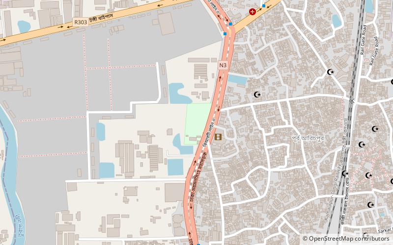
Map
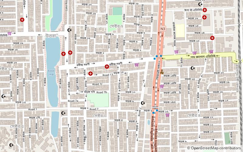
Map

Facts and practical information
Uttara Model Town or simply Uttara is a suburb of Dhaka, the capital of Bangladesh. The name derives from the Bengali word uttar meaning "north". It lies on the road to Gazipur, and adjoins Hazrat Shahjalal International Airport. ()
Local name: উত্তরা থানাArea: 14.25 mi²Coordinates: 23°52'0"N, 90°23'52"E
Address
উত্তরা থানা (uttara thana)Dhaka
ContactAdd
Social media
Add
Day trips
Uttara – popular in the area (distance from the attraction)
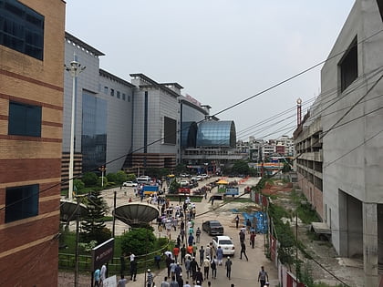
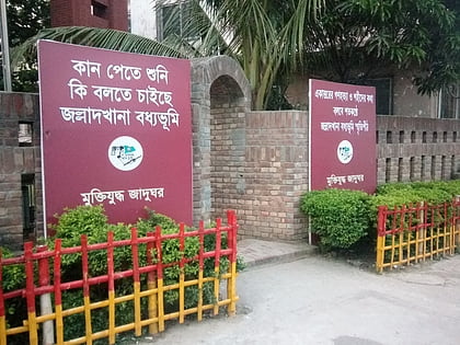
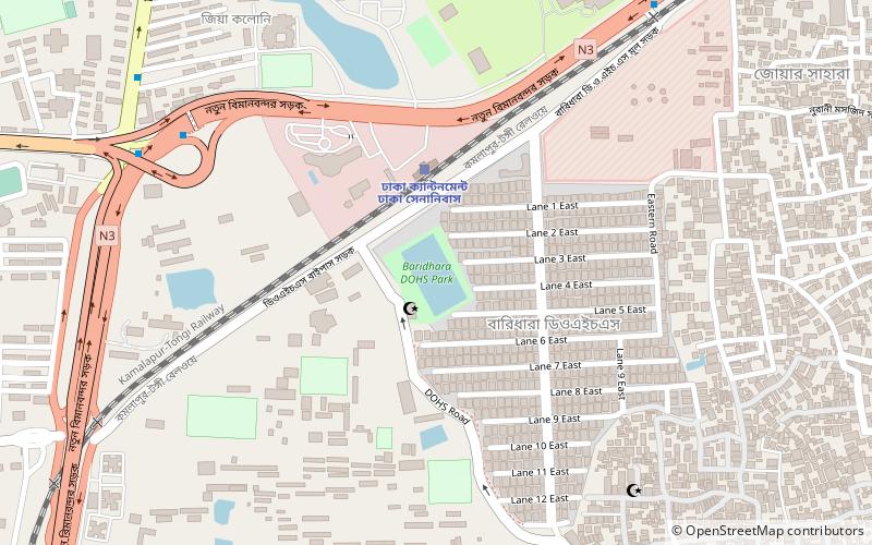
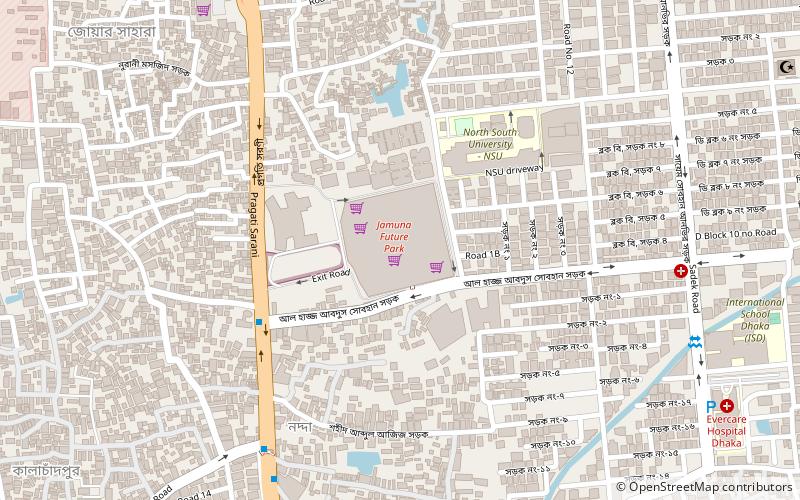
Nearby attractions include: Jamuna Future Park, Jalladkhana Killing Field, Baridhara Scholars Institution, International University of Business Agriculture and Technology.
Frequently Asked Questions (FAQ)
Which popular attractions are close to Uttara?
Nearby attractions include Uttara Model Town, Dhaka (12 min walk), Sector 4 Park, Dhaka (14 min walk).
How to get to Uttara by public transport?
The nearest stations to Uttara:
Bus
Train
Bus
- BRTC Bus Station (20 min walk)
Train
- Dhaka Airport Railway Station (31 min walk)

