Kaptai Dam
Map

Map

Facts and practical information
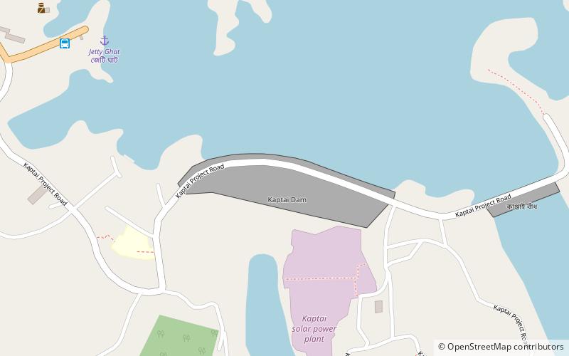
Kaptai Dam is on the Karnaphuli River at Kaptai, 65 kilometres upstream from Chittagong in Rangamati District, Bangladesh. It is an earth-fill embankment dam with a reservoir water storage capacity of 6,477 million cubic metres. The primary purpose of the dam and reservoir was to generate hydroelectric power. Construction was completed in 1962, in then-East Pakistan. The generators in the 230 megawatts Karnafuli Hydroelectric Power Station were commissioned between 1962 and 1988. It is the only hydroelectric power station in Bangladesh. ()
Local name: কাপ্তাই বাঁধ Opened: 1962 (64 years ago)Length: 2200 ftHeight: 150 ftReservoir area: 300 mi²Coordinates: 22°29'40"N, 92°13'31"E
Location
Chittagong
ContactAdd
Social media
Add
Day trips
Kaptai Dam – popular in the area (distance from the attraction)
Nearby attractions include: Bangladesh Sweden Polytechnic Institute, Chittagong Hill Tracts.


