Leading University, Sylhet
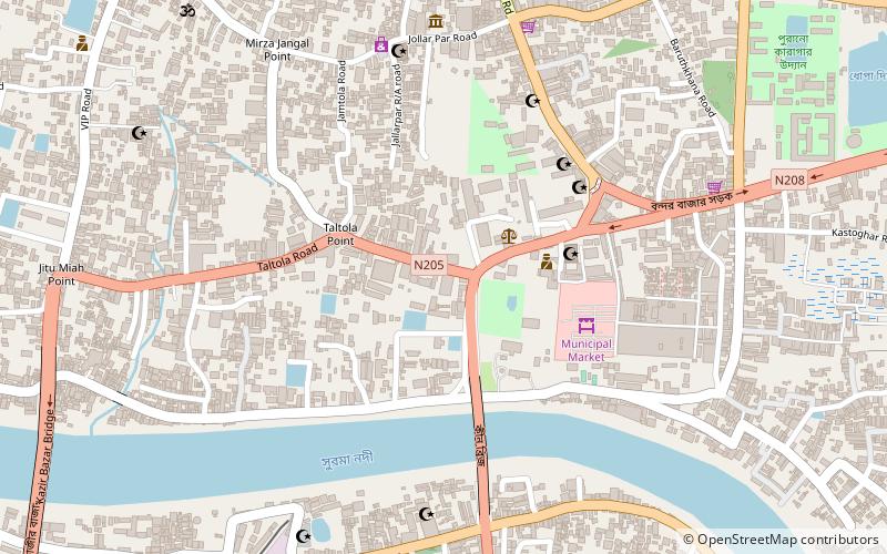
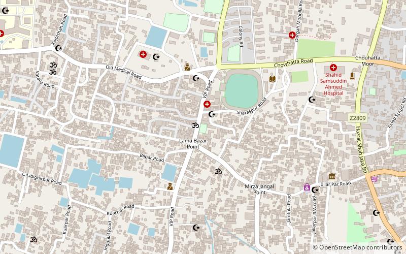
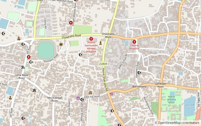
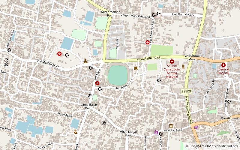
Map
Facts and practical information
Leading University or LU is a private university of Bangladesh. It was established in 2001 under the Private University Act 1992. The campus of LU is located in Ragib Nagar, Kamal Bazar, South Surma, Sylhet. ()
Local name: লিডিং ইউনিভার্সিটিEstablished: 2001 (25 years ago)Coordinates: 24°53'25"N, 91°52'3"E
Getting there by public transportation
Public transportation stops near this location
- Bus
- Train
 Bus
Bus
- Calculate routeSylhet Railway Station 16 min walk
- Calculate routeSylhet Kodomttoli Bus Terminal 16 min walk
- Calculate routeBus Station 19 min walk
Day trips


Frequently Asked Questions (FAQ)
Which popular attractions are close to Leading University?
Nearby attractions include Ali Amjad's Clock, Sylhet (4 min walk), Keane Bridge, Sylhet (6 min walk), Museum of Rajas', Sylhet (8 min walk), North East University, Sylhet (11 min walk).
How to get to Leading University by public transport?
The nearest stations to Leading University:
Train
Bus
Train
- Sylhet Railway Station (16 min walk)
Bus
- Sylhet Kodomttoli Bus Terminal (16 min walk)
- Bus Station (19 min walk)