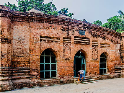
Nateshwar Deul
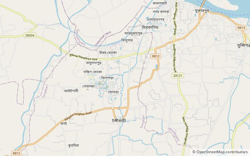
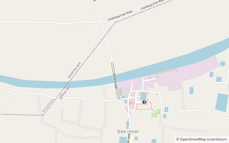
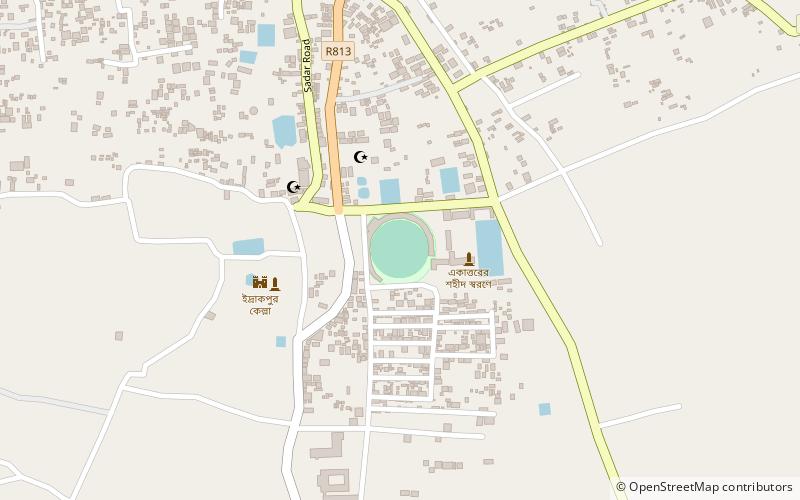
Map
Facts and practical information
Nateshwar Deul is a Buddhist archaeological site located in the village of Nateshwar in Tongibari Upazila in the Munshiganj District, Bangladesh. It is the ruin of a Buddhist city established from 780 to 950 CE and from 950 to 1223 CE in the Bikrampur region. Archaeological excavation began at Nateshwar in 2012–13. From 2013 to 2018, an area of approximately 500 square metres was excavated. Sixteen Buddhist stupas, including Bangladesh's only pyramid-shaped one, have been found in Nateshwar. ()
Coordinates: 23°31'54"N, 90°28'10"E
Location
Dhaka
ContactAdd
Social media
Add
Day trips
Nateshwar Deul – popular in the area (distance from the attraction)
Nearby attractions include: Sonarang Twin Temples, Baba Adam's Mosque, Idrakpur Fort, Sonakanda Fort.
