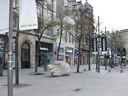
The hidden street Vlaeykensgang, Antwerp


Facts and practical information
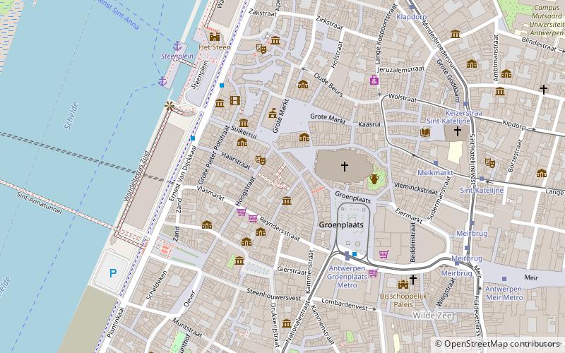
The hidden street Vlaeykensgang (address: Oude Koornmarkt Nr 16) is a place located in Antwerp (Vlaanderen region) and belongs to the category of historic walking areas.
It is situated at an altitude of 46 feet, and its geographical coordinates are 51°13'12"N latitude and 4°23'58"E longitude.
Planning a visit to this place, one can easily and conveniently get there by public transportation. The hidden street Vlaeykensgang is a short distance from the following public transport stations: Stop (tram, 4 min walk), Suikerrui Steenplein (bus, 4 min walk), Steenplein Antwerpen (ferry, 6 min walk), Antwerpen-Centraal (train, 25 min walk).
Among other places and attractions worth visiting in the area are: De Kathedraal (church, 2 min walk), Beeld Onze-Lieve-Vrouw-Hemelvaart (monuments and statues, 2 min walk), Brabo (fountain, 2 min walk).
Oude Koornmarkt Nr 16Antwerpen (Historisch Centrum)Antwerp 2000
The hidden street Vlaeykensgang – popular in the area (distance from the attraction)
Nearby attractions include: Meir, City Hall, Brabo, Maagdenhuis Museum.
Frequently Asked Questions (FAQ)
Which popular attractions are close to The hidden street Vlaeykensgang?
How to get to The hidden street Vlaeykensgang by public transport?
Tram
- Stop (4 min walk)
- Groenplaats • Lines: 15, 3, 4, 5, 9 (4 min walk)
Bus
- Suikerrui Steenplein • Lines: 30, 34 (4 min walk)
- Groenplaats • Lines: 180, 181, 182, 183, 22 (4 min walk)
Ferry
- Steenplein Antwerpen • Lines: Waterbus Schelde Hemiksem-Antwer, Waterbus Schelde Lillo-Antwerpen (6 min walk)
- Sint-Anna Jachthavenweg • Lines: Waterbus Schelde Hemiksem-Antwer, Waterbus Schelde Lillo-Antwerpen (25 min walk)
Train
- Antwerpen-Centraal (25 min walk)


