Keeses molen, Kasterlee

Gallery (1)
Map
Map
Facts and practical information
Keeses molen is a place located in Kasterlee (Vlaanderen region) and belongs to the category of windmill.
It is situated at an altitude of 85 feet, and its geographical coordinates are 51°14'3"N latitude and 4°58'19"E longitude.
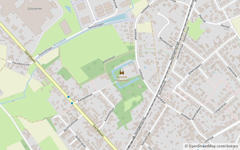
Among other places and attractions worth visiting in the area are: Prinsenpark, Retie (regional park, 80 min walk), Tielen Castle (forts and castles, 87 min walk), Dream Catcher (amusement, 88 min walk).
Coordinates: 51°14'3"N, 4°58'19"E
Address
KasterleeKasterlee
ContactAdd
Social media
Add
Day trips