Avenue Louise, Brussels
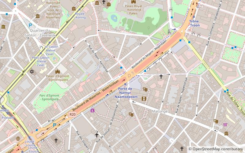
Map
Gallery
Facts and practical information
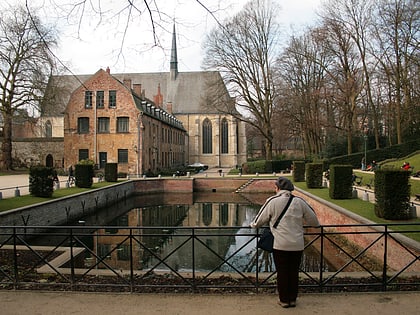
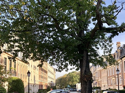
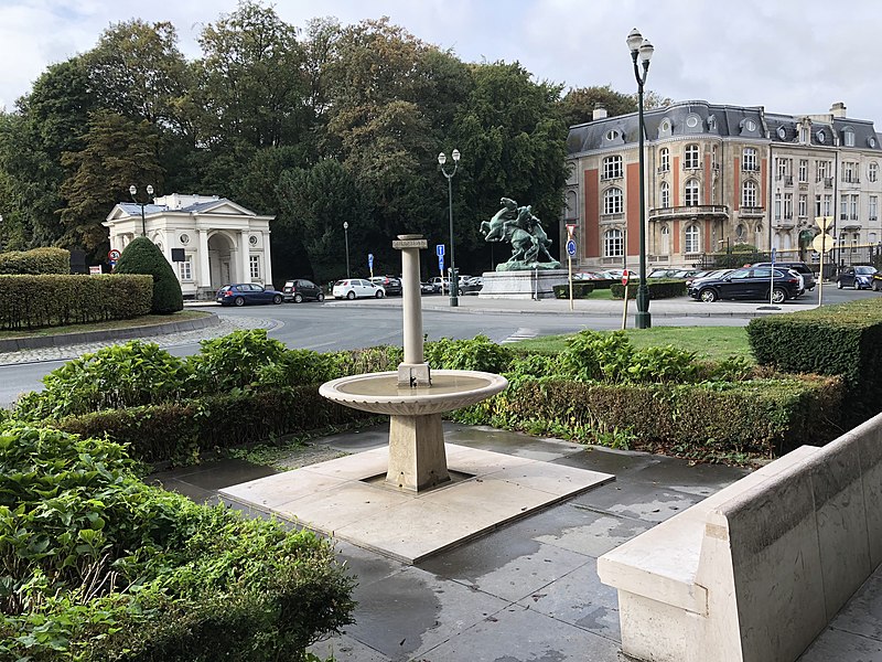
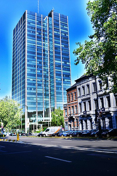
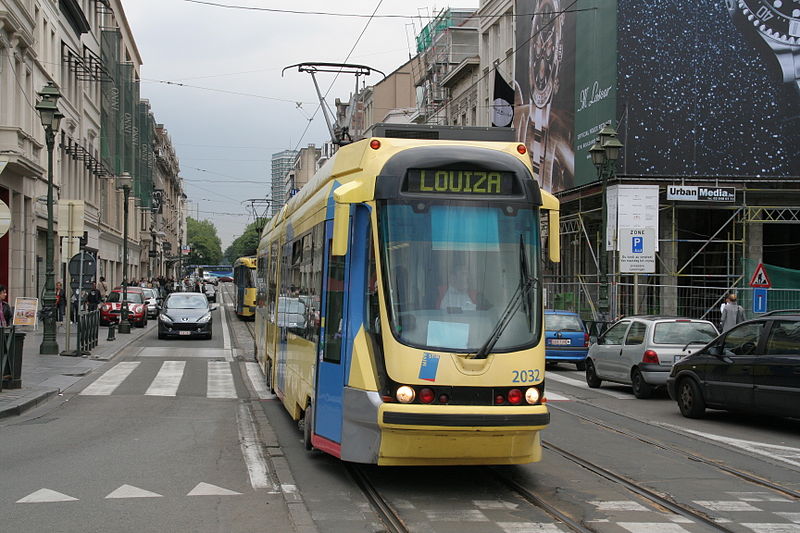
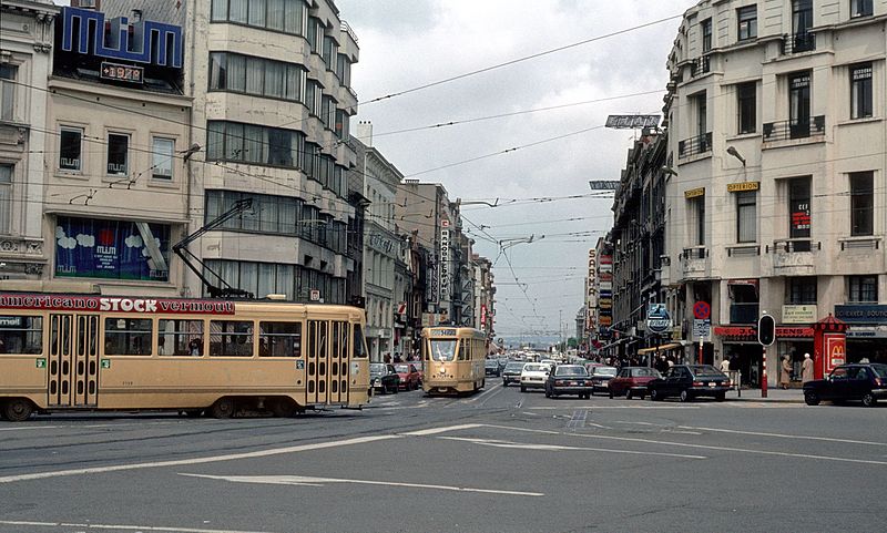
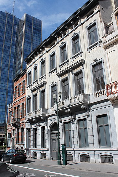
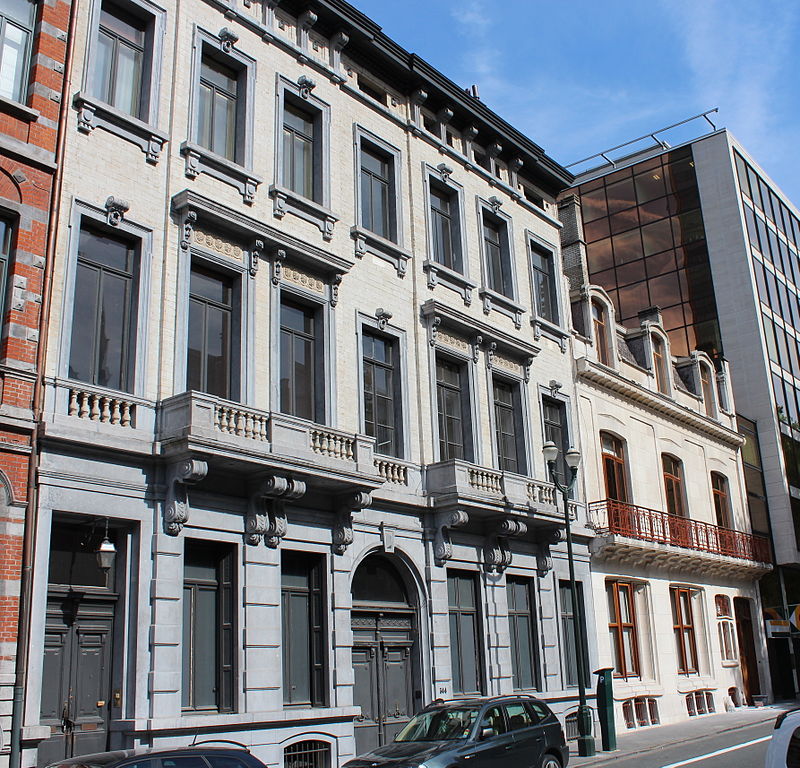
The Avenue Louise or Louizalaan is a major thoroughfare in Brussels, Belgium. It is located in the southern part of the City of Brussels, on the border with the municipality of Ixelles, where it runs south–east from the Place Louise/Louizaplein to the Bois de la Cambre/Ter Kamerenbos, covering a distance of 2.7 km. It is named in honour of King Leopold II's eldest daughter, Princess Louise. ()
Address
Ixelles (Chatelain)Brussels
ContactAdd
Social media
Add
Day trips
Avenue Louise – popular in the area (distance from the attraction)
Nearby attractions include: Palais de Justice, Horta Museum, La Cambre Abbey, Place Louise.
Frequently Asked Questions (FAQ)
Which popular attractions are close to Avenue Louise?
Nearby attractions include Hôtel Solvay, Brussels (3 min walk), Rue du Bailli, Brussels (4 min walk), Ixelles, Brussels (4 min walk), Hôtel Tassel, Brussels (6 min walk).
How to get to Avenue Louise by public transport?
The nearest stations to Avenue Louise:
Tram
Bus
Train
Metro
Tram
- Bailli - Baljuw • Lines: 8, 81, 93 (4 min walk)
- Vleurgat • Lines: 8, 93 (5 min walk)
Bus
- Vleurgat • Lines: 38, 60, N10 (6 min walk)
- Washington • Lines: 60, N10 (7 min walk)
Train
- Germoir - Mouterij (20 min walk)
- Horta (21 min walk)
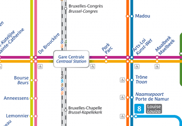
Metro
- Louise - Louiza • Lines: 2, 6 (21 min walk)
- Hôtel des Monnaies - Munthof • Lines: 2, 6 (23 min walk)



 Metro / Rail

