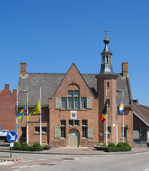
Houthulst

Gallery (3)
Map
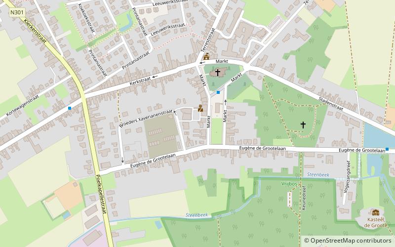
Map
Gallery
Facts and practical information
Houthulst is a municipality located in the Belgian province of West Flanders. The municipality consists of the sub-municipalities Houthulst, Jonkershove, Klerken and Merkem. On January 1, 2006, Houthulst had a total population of 9,051. The total area is 55.89 km² which gives a population density of 162 inhabitants per km². ()
Day trips


