Schellemolen, Damme

Gallery (1)
Map
Map
Facts and practical information
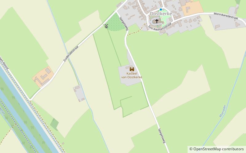
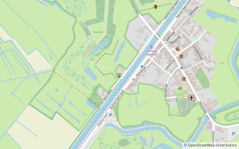
Schellemolen is a place located in Damme (Vlaanderen region) and belongs to the category of windmill.
It is situated at an altitude of 7 feet, and its geographical coordinates are 51°15'2"N latitude and 3°16'39"E longitude.
Among other places and attractions worth visiting in the area are: Spiere Castle (forts and castles, 47 min walk), Oostkerke Castle (forts and castles, 48 min walk), Karel Van Manderstraat, Bruges (bridge, 65 min walk).
Coordinates: 51°15'2"N, 3°16'39"E
Address
Damme
ContactAdd
Social media
Add
Day trips