Port of Brussels, Brussels
Map
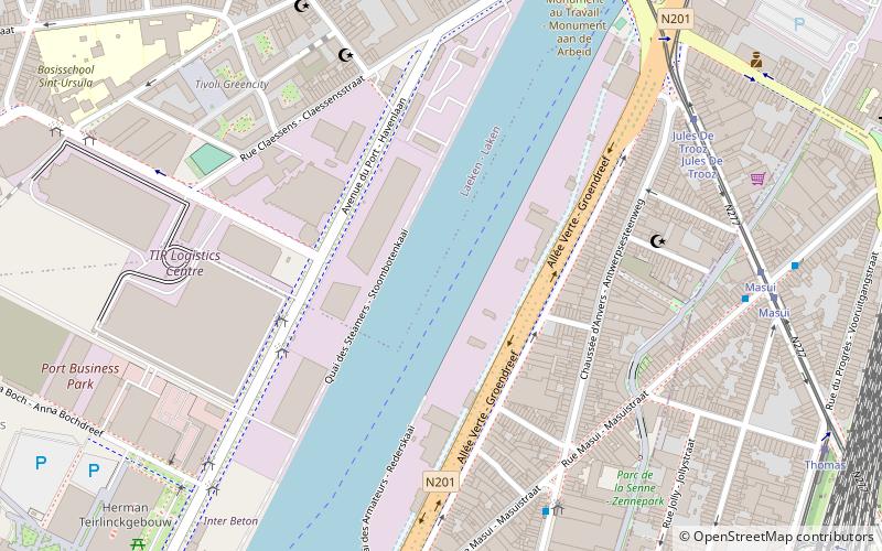
Map

Facts and practical information
The port of Brussels is an inland port, which is accessible for ships up to 4,500 tons and push towing convoys up to 9,000 tonnes. Via the Brussels–Scheldt Maritime Canal even sea-going vessels can reach the outer port, and through the Brussels–Charleroi Canal the transit to the Walloon region is assured. The port is located in the City of Brussels in the Brussels Capital Region. ()
Day trips
Port of Brussels – popular in the area (distance from the attraction)
Nearby attractions include: Rogier, Botanical Garden of Brussels, Galeria Inno, Church of Our Lady of Laeken.
Frequently Asked Questions (FAQ)
Which popular attractions are close to Port of Brussels?
Nearby attractions include Tour & Taxis, Brussels (13 min walk), Rue d'Aerschot, Brussels (14 min walk), North Galaxy Towers, Brussels (15 min walk), Northern Quarter, Saint-Josse-ten-Noode (15 min walk).
How to get to Port of Brussels by public transport?
The nearest stations to Port of Brussels:
Bus
Tram
Train
Metro
Ferry
Bus
- Entrepôt - Stapelhuis • Lines: 57, 86, 88 (4 min walk)
- Destouvelles • Lines: 58, N18 (6 min walk)
Tram
- Jules De Trooz • Lines: 3, 62, 93 (7 min walk)
- Masui • Lines: 3, 62, 93 (8 min walk)
Train
- Brussels North Station (17 min walk)
- Brussels-North (17 min walk)
Metro
- Pannenhuis • Lines: 6 (17 min walk)
- Bockstael • Lines: 6 (20 min walk)
Ferry
- Quai des Péniches - Akenkaai • Lines: Wb (19 min walk)
- Sainctelette • Lines: Wb (19 min walk)

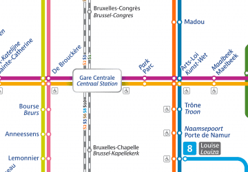 Metro / Rail


