Napoleonsmolen

Gallery (1)
Map
Map
Facts and practical information
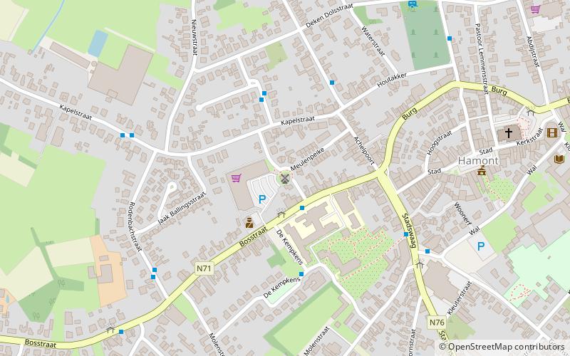
Napoleonsmolen (address: Dr. Mathijssenstraat) is a place located in Belgium and belongs to the category of windmill.
It is situated at an altitude of 112 feet, and its geographical coordinates are 51°15'3"N latitude and 5°32'23"E longitude.
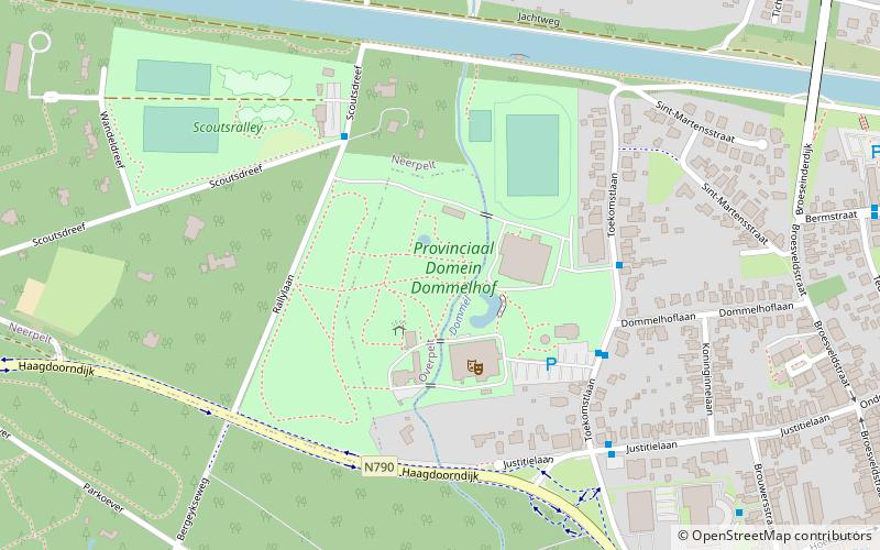
Among other places and attractions worth visiting in the area are: Achel Abbey (monastery, 102 min walk), Sevensmolen (monuments and statues, 115 min walk), Provinciaal Domein DommelhofNeerpelt (park, 135 min walk).
Coordinates: 51°15'3"N, 5°32'23"E
Location
Dr. MathijssenstraatHamont Vlaanderen
ContactAdd
Social media
Add
Day trips