Beersel, Brussels
Map

Map

Facts and practical information
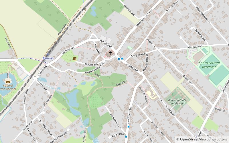
Beersel is a municipality located in the Belgian province of Flemish Brabant. The municipality comprises the towns of Alsemberg, Beersel proper, Dworp, Huizingen and Lot. On 1 January 2018 Beersel had a total population of 25,069. The total area is 30.01 km² which gives a population density of 835 inhabitants per km². It is close to Brussels; Beersel is approximately 12 km southwest of the center of the city. ()
Day trips
Beersel – popular in the area (distance from the attraction)
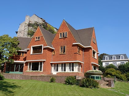
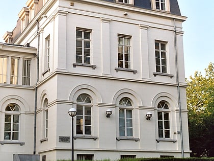
Nearby attractions include: Nemo 33, Forest National, Museum David and Alice van Buuren, Beersel Castle.
Frequently Asked Questions (FAQ)
Which popular attractions are close to Beersel?
Nearby attractions include Beersel Castle, Brussels (9 min walk), Beersel Hills Observatory, Brussels (12 min walk).
How to get to Beersel by public transport?
The nearest stations to Beersel:
Bus
Train
Tram
Bus
- Beersel Gemeenteplein • Lines: 154 (2 min walk)
Train
- Beersel (6 min walk)
- Moensberg (35 min walk)
Tram
- Van Haelen • Lines: 51 (33 min walk)

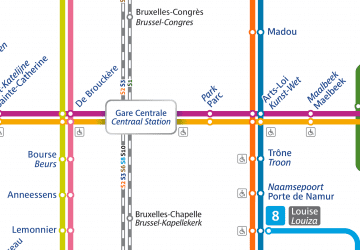
 Metro / Rail


