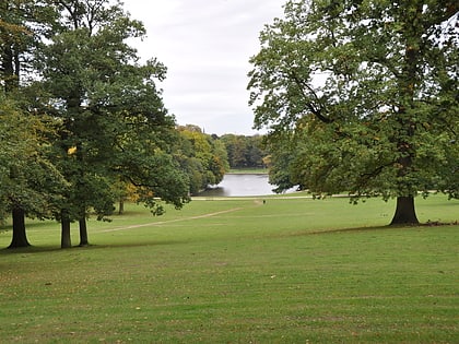
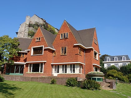
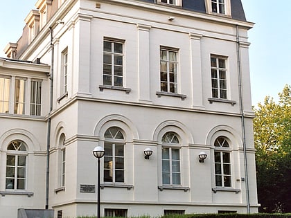
Linkebeek, Brussels
Map
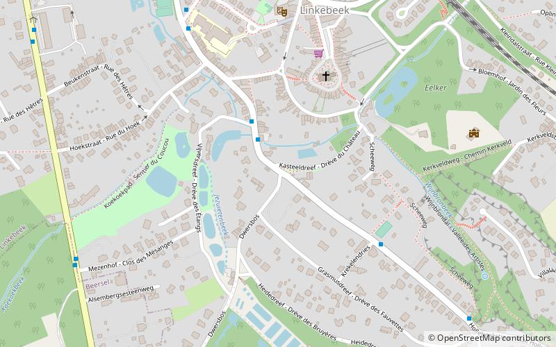
Map

Facts and practical information
Linkebeek is a Belgian municipality in Flanders, part of the province of Flemish Brabant, and in the administrative district of Halle-Vilvoorde. The municipality only comprises the town of Linkebeek proper. As of 1 January 2006, Linkebeek has a total population of 4,759. The total area is 4.15 km² which gives a population density of 1,147 inhabitants per km². ()
Day trips
Linkebeek – popular in the area (distance from the attraction)
Nearby attractions include: Nemo 33, Forest National, Bois de la Cambre, Museum David and Alice van Buuren.
Frequently Asked Questions (FAQ)
How to get to Linkebeek by public transport?
The nearest stations to Linkebeek:
Bus
Train
Tram
Bus
- Linkebeek Kasteeldreef • Lines: 155 (1 min walk)
- Dapperen - Braves • Lines: 155, 43, 70, N11 (7 min walk)
Train
- Linkebeek (9 min walk)
- Moensberg (16 min walk)
Tram
- Van Haelen • Lines: 51 (22 min walk)
- Crematorium • Lines: 51 (27 min walk)

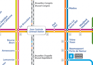 Metro / Rail

