Steenbeekdries

Gallery (1)
Map
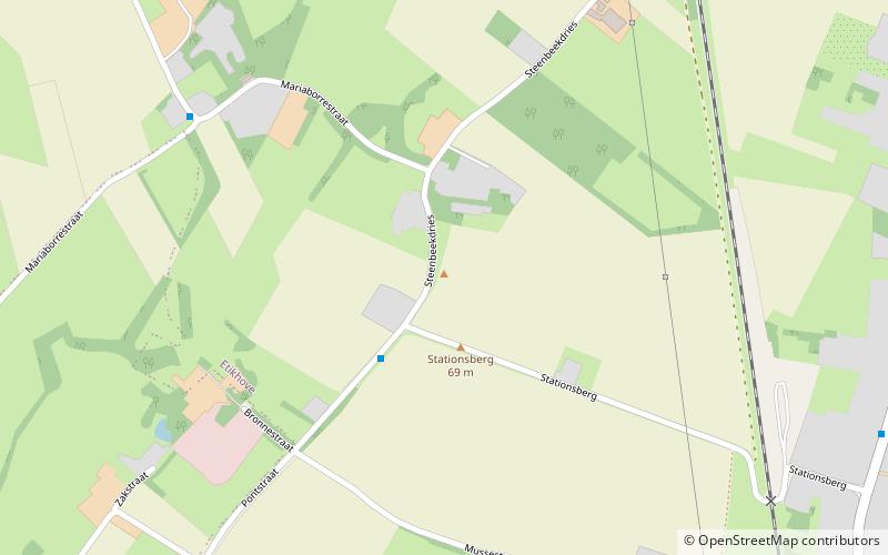
Map
Facts and practical information
Steenbeekdries is an uphill cobbled road in the municipality of Maarkedal, in the Belgian province of East Flanders. With its top at 69 m altitude, its is one of many hill formations in the Flemish Ardennes, in the south of East-Flanders. The entire road is paved in cobbles; in 1995 the road of the Steenbeekdries was classified as a protected landscape monument. ()
Location
Vlaanderen
ContactAdd
Social media
Add
Day trips