Kruisberg, Ronse
Map
Facts and practical information
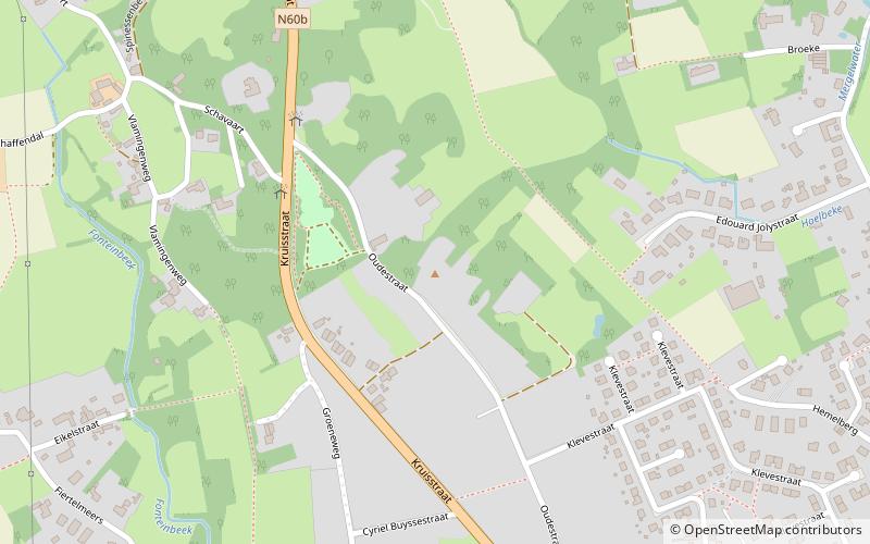
The Kruisberg, also known as Oude Kruisberg or Oude Kruisens, is a hill and road in the city of Ronse, in Flanders, Belgium. With its top at 122 m altitude, its is one of many hill formations in the Flemish Ardennes, in the south of East-Flanders. The road starts going gently uphill from the center of Ronse. The upper and steepest part of the climb consists of 450 m of cobbled surface. ()
Coordinates: 50°45'31"N, 3°35'24"E
Day trips