Kanarieberg
Map

Map

Facts and practical information
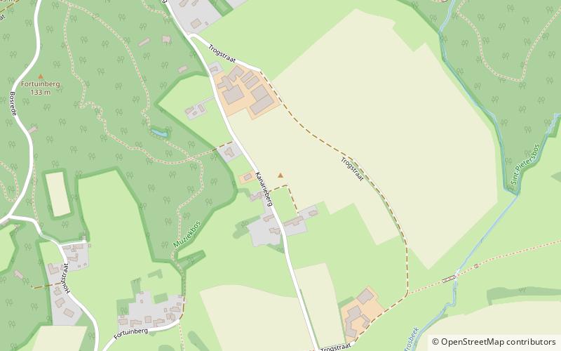
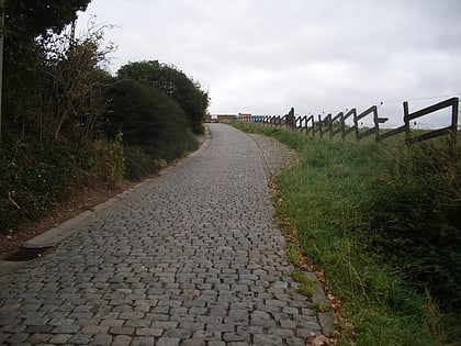
Kanarieberg is the name of a road and hill in the municipality of Ronse, in the Belgian province of East Flanders. With its top at 131 m, it is the one of the many hills in the Flemish Ardennes, located in the heart of the hill region. The road of the Kanarieberg starts gently before steadily getting steeper as it winds its way through the fields outside Ronse's city center. It is surfaced in smooth asphalt; its steepest point is 14%. The top of the Kanarieberg is in the Muziekbos. ()
Day trips
Kanarieberg – popular in the area (distance from the attraction)
Nearby attractions include: Koppenberg, Paterberg, Eikenberg, Taaienberg.


