Ixelles, Brussels
Map
Gallery
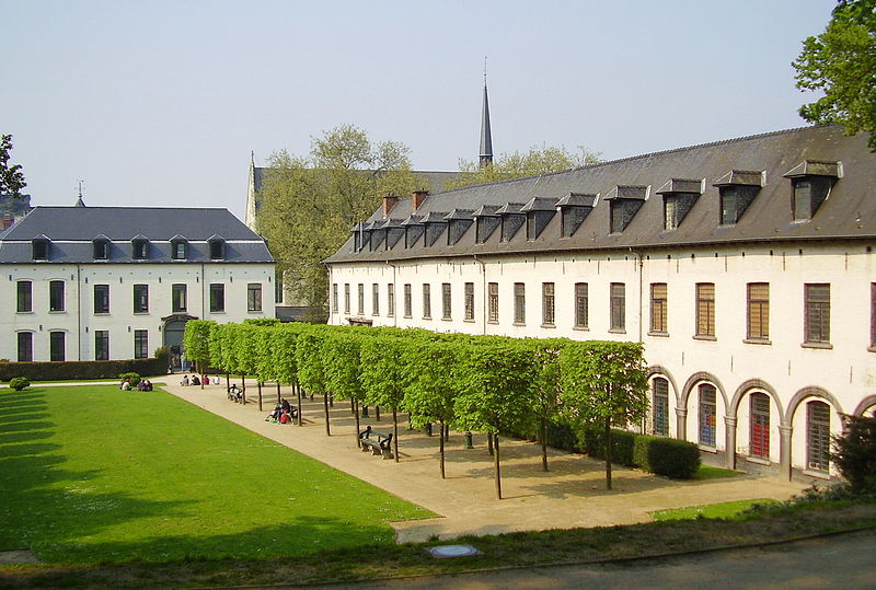
Facts and practical information
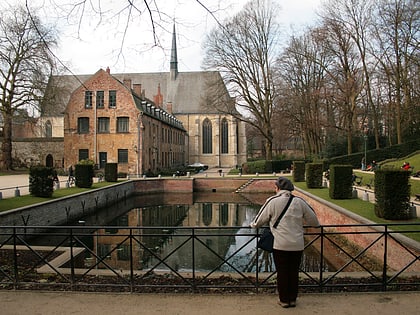
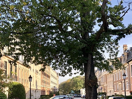
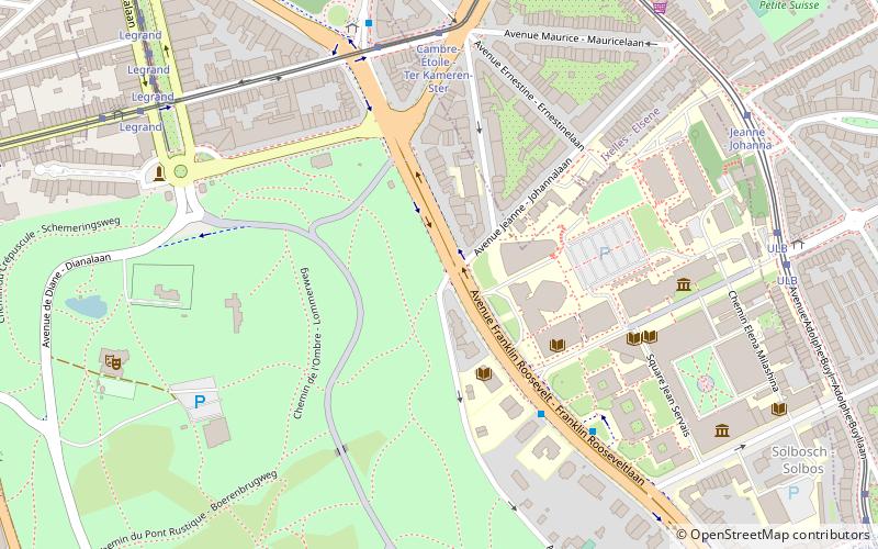
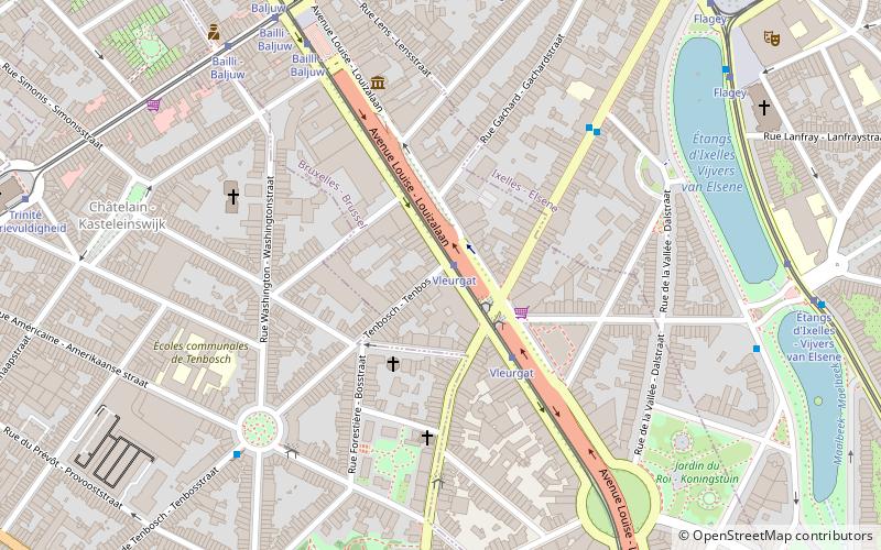
Ixelles or Elsene, is one of the 19 municipalities of the Brussels-Capital Region, Belgium. Located to the south-east of Brussels' city centre, it is geographically bisected by the City of Brussels. It is also bordered by the municipalities of Auderghem, Etterbeek, Forest, Uccle, Saint-Gilles and Watermael-Boitsfort. ()
Day trips
Ixelles – popular in the area (distance from the attraction)
Nearby attractions include: Museum of Natural Sciences, Avenue Louise, Horta Museum, La Cambre Abbey.
Frequently Asked Questions (FAQ)
Which popular attractions are close to Ixelles?
Nearby attractions include St Andrew's Church, Brussels (4 min walk), Hôtel Max Hallet, Brussels (5 min walk), Hôtel Solvay, Brussels (5 min walk), Sterner's Studio, Brussels (5 min walk).
How to get to Ixelles by public transport?
The nearest stations to Ixelles:
Tram
Bus
Train
Metro
Tram
- Vleurgat • Lines: 8, 93 (2 min walk)
- Dautzenberg • Lines: 81 (7 min walk)
Bus
- Vleurgat • Lines: 38, 60, N10 (2 min walk)
- Biarritz • Lines: 38, 60, N10 (5 min walk)
Train
- Germoir - Mouterij (19 min walk)
- Horta (24 min walk)
Metro
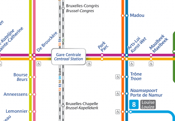
- Louise - Louiza • Lines: 2, 6 (25 min walk)
- Porte de Namur - Naamsepoort • Lines: 2, 6 (26 min walk)

 Metro / Rail


