Trek Zone

Administration communale d'Olne, Olne

#1 among attractions in Olne

Historical place, Architecture, City hall
Administration communale d'Olne

Facts and practical information

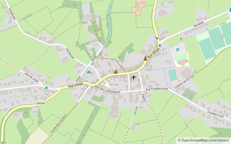
Administration communale d'Olne (address: Rue du Village 37) is a place located in Olne (Wallonie region) and belongs to the category of historical place, architecture, city hall.

It is situated at an altitude of 748 feet, and its geographical coordinates are 50°35'27"N latitude and 5°44'53"E longitude.

Among other places and attractions worth visiting in the area are: Château de Wégimont, Soumagne (park, 41 min walk), Pepinster (locality, 72 min walk), Château de la Fenderie, Trooz (forts and castles, 73 min walk).

Coordinates: 50°35'27"N, 5°44'53"E
Address

Rue du Village 37Olne 4877 Belgium

Contact
Social media
Add

Olne plan & book

Unleash the traveler in you — discover the cheapest flight deals, find the perfect hotel or hostel nearby, and search for the best car rental prices. Travel at your own pace to discover new places and enjoy your journey.

Day trips

Administration communale d'Olne – popular in the area (distance from the attraction)

Nearby attractions include: Fort de Battice, Château de Franchimont, Fort de Fléron, Fort de Tancrémont.

  • fort de battice5.5 miNE
  • chateau de franchimont theux5.5 miSE
  • fort de fleron3.1 miNW
  • fort de tancremont3.2 miSE
  • fort de chaudfontaine4.7 miW
  • chateau de wegimont soumagne1.6 miN
  • pont barrage de monsin liege6.6 miNW
  • fort devegnee4.1 miNW
  • port of liege6.9 miNW
  • bolland castle4.9 miN
  • verviers4.9 miE

Where to next? Visit wallonie Wallonie region page or discover the top tourist attractions in Belgium.