Spuihuis, Lier

Facts and practical information
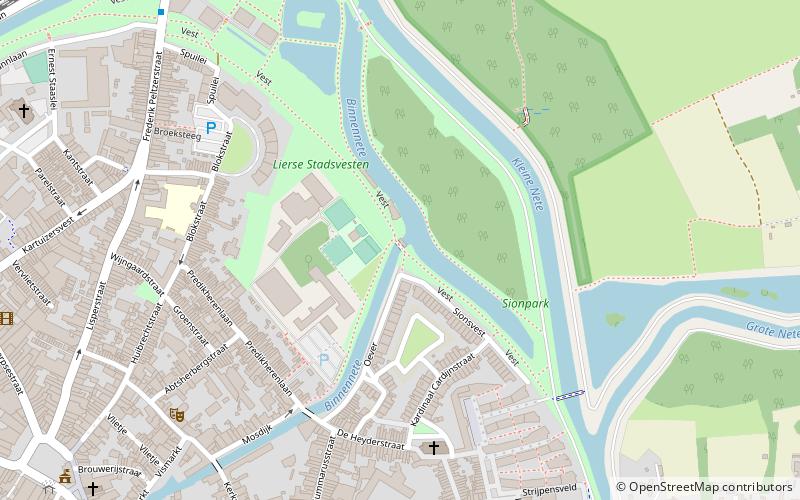
Spuihuis is a place located in Lier (Vlaanderen region) and belongs to the category of sightseeing.
It is situated at an altitude of 16 feet, and its geographical coordinates are 51°8'2"N latitude and 4°34'37"E longitude.
Planning a visit to this place, one can easily and conveniently get there by public transportation. Spuihuis is a short distance from the following public transport stations: Lier Kluizenplein (bus, 8 min walk), Lier (train, 17 min walk).
Among other places and attractions worth visiting in the area are: Sint-Pieterskapel (architecture, 7 min walk), Vleeshuis (memorial, 10 min walk), Sint-Jacobskapel (church, 10 min walk).
LierLier
- Bus
- Train
 Bus
Bus
- Calculate routeLier Kluizenplein 8 min walk
- Calculate routeLier Lisperpoort 9 min walk
- Calculate routeLier Markt 10 min walk
- Calculate routeLier Gasthuisvest 11 min walk
- Calculate routeLier 17 min walk
Spuihuis – popular in the area (distance from the attraction)
Nearby attractions include: Zimmer tower, Stedelijk Museum Wuyts-Van Campen en Baron Caroly, Sint-Pieterskapel, Ringenhof.


Frequently Asked Questions (FAQ)
Which popular attractions are close to Spuihuis?
How to get to Spuihuis by public transport?
Bus
- Lier Kluizenplein • Lines: 1, 130, 132, 135, 150, 151, 152, 153, 154, 2, 297, 3, 422, 423, 426, 428, 560, 561, 569, 570, 571, 90 (8 min walk)
- Lier Lisperpoort • Lines: 422, 423, 426, 428 (9 min walk)
Train
- Lier (17 min walk)