Leberg

Map
Facts and practical information
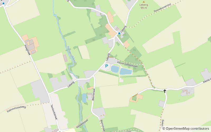
The Leberg is a hill and uphill street in Elst, part of the municipality of Brakel, in the Belgian province of East Flanders. Its top is at 99 m altitude, making it one of the highest hills of the Zwalm region, just north of the Flemish Ardennes. The road has an asphalt surface and links the valley town of Elst to the hilltop town of Zegelsem. ()
Location
Vlaanderen
ContactAdd
Social media
Add
Day trips
Leberg – popular in the area (distance from the attraction)
Nearby attractions include: Oudenaarde Town Hall, Leeuwergem Castle, Eikenberg, Kanarieberg.


