Saint Martin's Church, Lovendegem

Gallery (1)
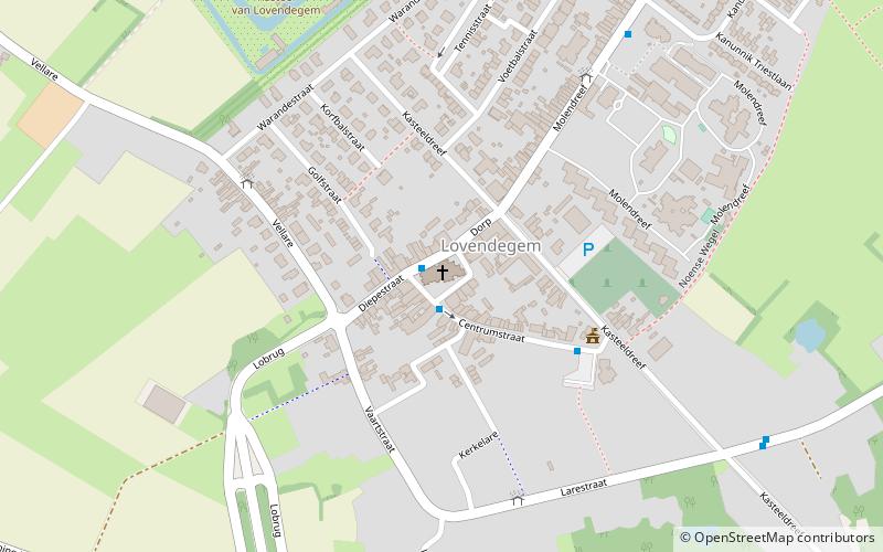
Map
Map
Facts and practical information
Saint Martin's Church is a place located in Lovendegem (Vlaanderen region) and belongs to the category of church.
It is situated at an altitude of 26 feet, and its geographical coordinates are 51°5'43"N latitude and 3°36'24"E longitude.
Among other places and attractions worth visiting in the area are: Zomergem (locality, 66 min walk), Bourgoyen-Ossemeersen, Ghent (area, 97 min walk), Drongen, Ghent (city, 100 min walk).
Local name: Sint-MartinuskerkCoordinates: 51°5'43"N, 3°36'24"E
Day trips


