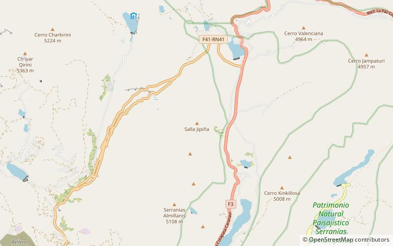
Churu Pata, Cotapata National Park and Integrated Management Natural Area
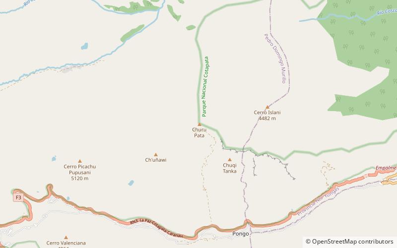
Map
Facts and practical information
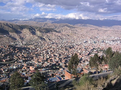
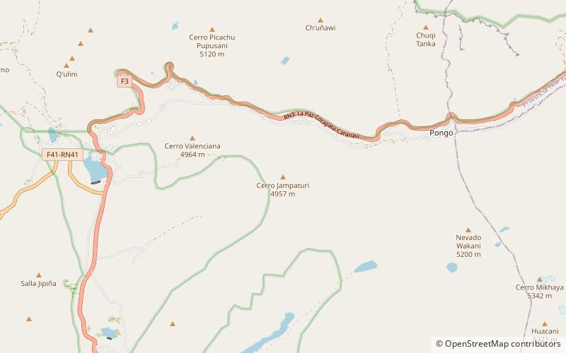
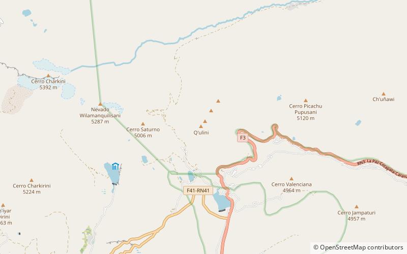
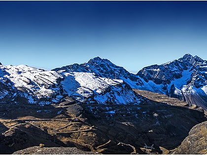
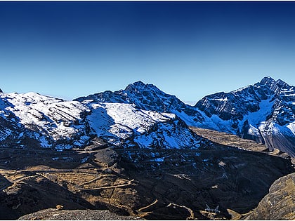
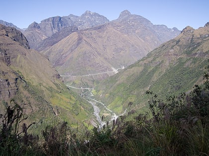
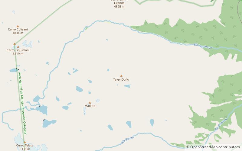
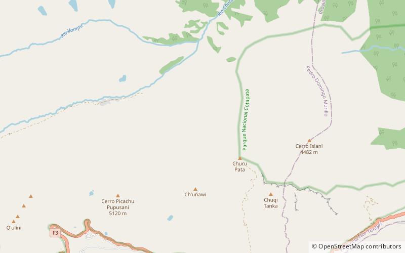
Churu Pata is a mountain in the Andes of Bolivia which reaches a height of approximately 4,460 m. It is located in the La Paz Department, Murillo Province, La Paz Municipality. Churu Pata lies northwest of Chuqi Tanka and northeast of Ch'uñawi. ()
Elevation: 14633 ftCoordinates: 16°17'42"S, 67°58'21"W
Address
Cotapata National Park and Integrated Management Natural Area
ContactAdd
Social media
Add
Day trips
Churu Pata – popular in the area (distance from the attraction)
Nearby attractions include: Mik'aya, Jamp'aturi, Q'ulini, Ch'uñawi.
